Distance to Clines Corners, New Mexico

Calculating Your Route
Just a moment while we process your request...
Location Information
-
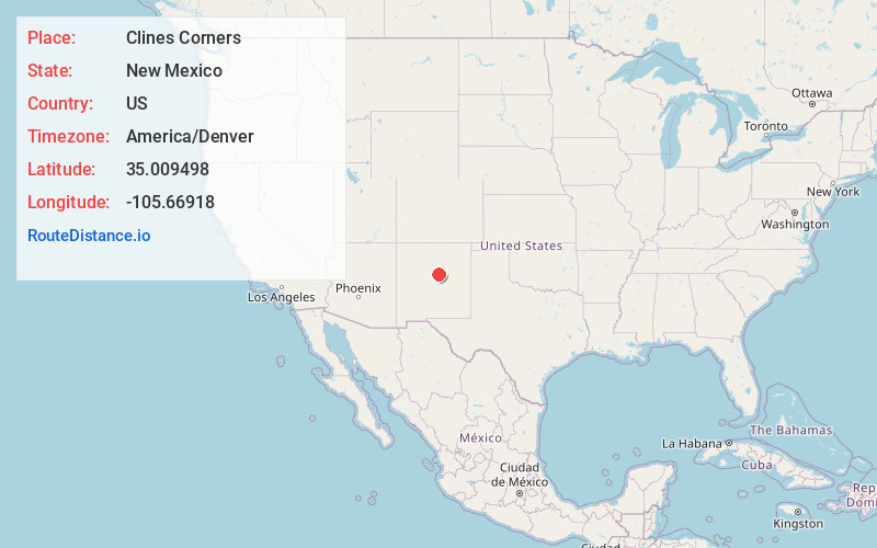
Full AddressClines Corners, NM 87056
-
Coordinates35.0094982, -105.6691804
-
LocationClines Corners , New Mexico , US
-
TimezoneAmerica/Denver
-
Current Local Time8:30:18 AM America/DenverTuesday, June 24, 2025
-
Page Views0
About Clines Corners
Clines Corners is an unincorporated community in Torrance County, New Mexico, United States. Clines Corners is located at the junction of Interstate 40 and U.S. Route 285, 21.6 miles east of Moriarty.


Nearby Places
Found 10 places within 50 miles

North Lucy
11.6 mi
18.7 km
North Lucy, NM 88321
Get directions

Young Place
18.7 mi
30.1 km
Young Place, NM 87056
Get directions

Gonzales Ranch
20.1 mi
32.3 km
Gonzales Ranch, NM 87560
Get directions

Rencona
20.3 mi
32.7 km
Rencona, NM 87560
Get directions

Moriarty
21.6 mi
34.8 km
Moriarty, NM 87035
Get directions
Derramadero
22.7 mi
36.5 km
Derramadero, NM 88321
Get directions
Culebra
23.3 mi
37.5 km
Culebra, NM 88321
Get directions

McIntosh
24.0 mi
38.6 km
McIntosh, NM
Get directions

Milagro
24.8 mi
39.9 km
Milagro, NM 88435
Get directions

Villanueva
24.9 mi
40.1 km
Villanueva, NM
Get directions
Location Links
Local Weather
Weather Information
Coming soon!
Location Map
Static map view of Clines Corners, New Mexico
Browse Places by Distance
Places within specific distances from Clines Corners
Short Distances
Long Distances
Click any distance to see all places within that range from Clines Corners. Distances shown in miles (1 mile ≈ 1.61 kilometers).