Distance to Clinton, Nebraska

Calculating Your Route
Just a moment while we process your request...
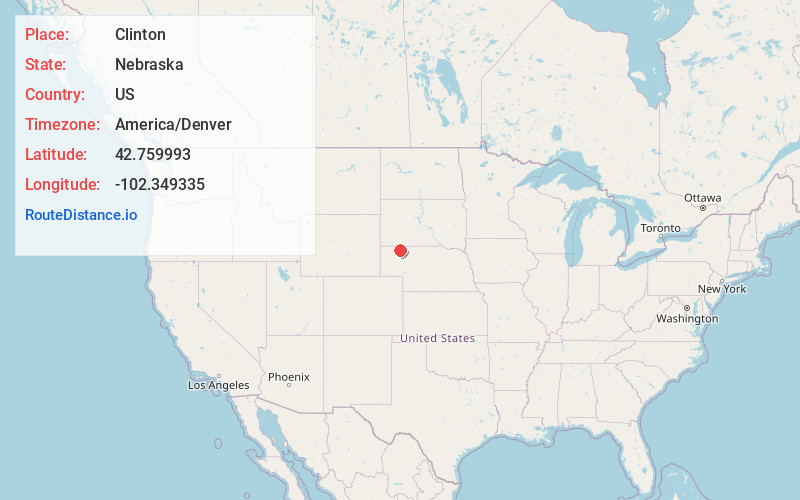
Location Information
-
Full AddressClinton, NE 69343
-
Coordinates42.7599927, -102.3493352
-
LocationClinton , Nebraska , US
-
TimezoneAmerica/Denver
-
Current Local Time1:51:39 PM America/DenverWednesday, June 18, 2025
-
Page Views0
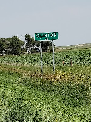
About Clinton
Clinton is a village in Sheridan County, Nebraska, United States. The village was named for Clinton, Iowa. The population was 41 at the 2010 census.

Nearby Places
Found 10 places within 50 miles

Rushville
6.5 mi
10.5 km
Rushville, NE 69360
Get directions

Gordon
8.0 mi
12.9 km
Gordon, NE 69343
Get directions

Hay Springs
18.1 mi
29.1 km
Hay Springs, NE 69347
Get directions

Pine Ridge
21.1 mi
34.0 km
Pine Ridge, SD 57770
Get directions

Wounded Knee
26.3 mi
42.3 km
Wounded Knee, SD 57794
Get directions

Batesland
28.4 mi
45.7 km
Batesland, SD 57716
Get directions

White Horse Creek
32.8 mi
52.8 km
White Horse Creek, Manderson-White Horse Creek, SD 57756
Get directions

Porcupine
33.3 mi
53.6 km
Porcupine, SD 57772
Get directions

Chadron
33.4 mi
53.8 km
Chadron, NE 69337
Get directions

Merriman
34.7 mi
55.8 km
Merriman, NE 69218
Get directions
Location Links
Local Weather
Weather Information
Coming soon!
Location Map
Static map view of Clinton, Nebraska
Browse Places by Distance
Places within specific distances from Clinton
Short Distances
Long Distances
Click any distance to see all places within that range from Clinton. Distances shown in miles (1 mile ≈ 1.61 kilometers).