Distance to Wounded Knee, South Dakota

Calculating Your Route
Just a moment while we process your request...
Location Information
-
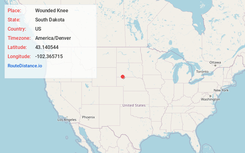
Full AddressWounded Knee, SD 57794
-
Coordinates43.1405442, -102.365715
-
LocationWounded Knee , South Dakota , US
-
TimezoneAmerica/Denver
-
Current Local Time3:00:25 PM America/DenverSaturday, May 31, 2025
-
Page Views0
About Wounded Knee
Wounded Knee is a census-designated place on the Pine Ridge Indian Reservation in Oglala Lakota County, South Dakota, United States. The population was 364 at the 2020 census.
The town is named for the Wounded Knee Creek which runs through the region.


Nearby Places
Found 10 places within 50 miles

Porcupine
7.2 mi
11.6 km
Porcupine, SD 57772
Get directions

White Horse Creek
7.8 mi
12.6 km
White Horse Creek, Manderson-White Horse Creek, SD 57756
Get directions

Pine Ridge
12.5 mi
20.1 km
Pine Ridge, SD 57770
Get directions

Oglala
19.1 mi
30.7 km
Oglala, SD
Get directions

Kyle
21.8 mi
35.1 km
Kyle, SD 57752
Get directions

Allen
24.3 mi
39.1 km
Allen, SD 57714
Get directions

Gordon
24.7 mi
39.8 km
Gordon, NE 69343
Get directions

Rushville
29.7 mi
47.8 km
Rushville, NE 69360
Get directions

Martin
32.0 mi
51.5 km
Martin, SD 57551
Get directions

Hay Springs
35.6 mi
57.3 km
Hay Springs, NE 69347
Get directions
Location Links
Local Weather
Weather Information
Coming soon!
Location Map
Static map view of Wounded Knee, South Dakota
Browse Places by Distance
Places within specific distances from Wounded Knee
Short Distances
Long Distances
Click any distance to see all places within that range from Wounded Knee. Distances shown in miles (1 mile ≈ 1.61 kilometers).