Distance to Clintondale, New York

Calculating Your Route
Just a moment while we process your request...
Location Information
-
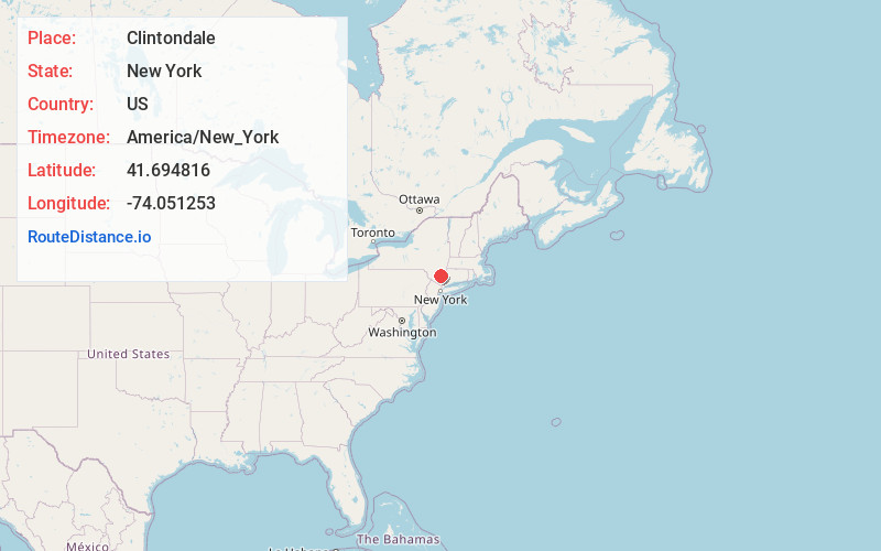
Full AddressClintondale, NY
-
Coordinates41.6948156, -74.0512528
-
LocationClintondale , New York , US
-
TimezoneAmerica/New_York
-
Current Local Time9:51:34 PM America/New_YorkThursday, June 26, 2025
-
Page Views0
About Clintondale
Clintondale is a hamlet in Ulster County, New York, United States. The population was 1,938 at the 2020 census.
Clintondale is located at the northern town line of the Town of Plattekill. The community is on US Route 44 and NY 55 at the junction of County Route 22.
Nearby Places
Found 10 places within 50 miles

New Paltz
4.1 mi
6.6 km
New Paltz, NY 12561
Get directions

Plattekill
4.9 mi
7.9 km
Plattekill, NY
Get directions

Highland
5.0 mi
8.0 km
Highland, NY 12528
Get directions

Gardiner
5.2 mi
8.4 km
Gardiner, NY
Get directions

Marlborough
5.4 mi
8.7 km
Marlborough, NY
Get directions

Poughkeepsie
6.4 mi
10.3 km
Poughkeepsie, NY
Get directions

Marlboro
7.4 mi
11.9 km
Marlboro, NY 12542
Get directions
Spackenkill
7.6 mi
12.2 km
Spackenkill, NY
Get directions

Arlington
8.0 mi
12.9 km
Arlington, NY
Get directions

Hyde Park
8.7 mi
14.0 km
Hyde Park, NY 12538
Get directions
Location Links
Local Weather
Weather Information
Coming soon!
Location Map
Static map view of Clintondale, New York
Browse Places by Distance
Places within specific distances from Clintondale
Short Distances
Long Distances
Click any distance to see all places within that range from Clintondale. Distances shown in miles (1 mile ≈ 1.61 kilometers).