Distance to Clintondale, Pennsylvania

Calculating Your Route
Just a moment while we process your request...
Location Information
-
Full AddressClintondale, PA 17751
-
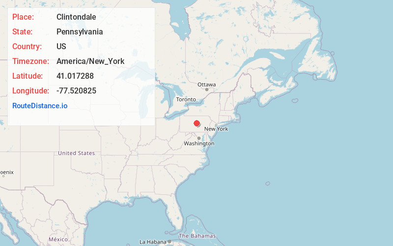
Coordinates41.0172881, -77.5208251
-
LocationClintondale , Pennsylvania , US
-
TimezoneAmerica/New_York
-
Current Local Time11:18:39 AM America/New_YorkFriday, May 30, 2025
-
Page Views0
About Clintondale
Clintondale is an unincorporated community and census-designated place in Clinton County, Pennsylvania, United States. It was first listed as a CDP prior to the 2020 census.
The CDP is in southern Clinton County, in the west-central part of Porter Township.


Nearby Places
Found 10 places within 50 miles

Lamar
0.6 mi
1.0 km
Lamar, PA
Get directions

Blanchard
5.2 mi
8.4 km
Blanchard, PA
Get directions

Tylersville
5.3 mi
8.5 km
Tylersville, PA 17747
Get directions
Beech Creek
5.4 mi
8.7 km
Beech Creek, PA 16822
Get directions
Salona
5.5 mi
8.9 km
Salona, PA 17751
Get directions
Miles Township
5.6 mi
9.0 km
Miles Township, PA
Get directions
Hublersburg
6.1 mi
9.8 km
Hublersburg, PA
Get directions

Madisonburg
6.3 mi
10.1 km
Madisonburg, PA
Get directions

Rebersburg
6.4 mi
10.3 km
Rebersburg, PA 16872
Get directions

Mill Hall
6.5 mi
10.5 km
Mill Hall, PA 17751
Get directions
Location Links
Local Weather
Weather Information
Coming soon!
Location Map
Static map view of Clintondale, Pennsylvania
Browse Places by Distance
Places within specific distances from Clintondale
Short Distances
Long Distances
Click any distance to see all places within that range from Clintondale. Distances shown in miles (1 mile ≈ 1.61 kilometers).