Distance to Lamar, Pennsylvania

Calculating Your Route
Just a moment while we process your request...
Location Information
-
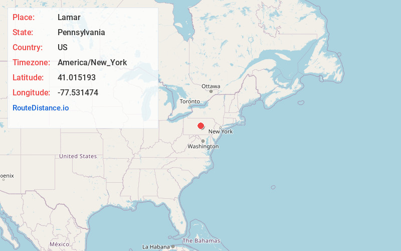
Full AddressLamar, PA
-
Coordinates41.0151926, -77.5314744
-
LocationLamar , Pennsylvania , US
-
TimezoneAmerica/New_York
-
Current Local Time3:38:56 PM America/New_YorkWednesday, June 18, 2025
-
Page Views0
About Lamar
Lamar is a census-designated place in Porter Township in southern Clinton County, Pennsylvania, United States. As of the 2010 census the population was 562.
The community is located along Pennsylvania Route 64 in southern Clinton County and is bordered on the west by Nittany in Walker Township, Centre County.


Nearby Places
Found 10 places within 50 miles

Walker Township
6.8 mi
10.9 km
Walker Township, PA
Get directions

Lock Haven
9.5 mi
15.3 km
Lock Haven, PA 17745
Get directions

Woodward
12.2 mi
19.6 km
Woodward, PA 16882
Get directions

Spring Township
13.5 mi
21.7 km
Spring Township, PA
Get directions

Bellefonte
14.7 mi
23.7 km
Bellefonte, PA 16823
Get directions
Pleasant Gap
15.1 mi
24.3 km
Pleasant Gap, PA 16823
Get directions
Carroll
16.9 mi
27.2 km
Carroll, Greene Township, PA 17747
Get directions

Centre County
18.6 mi
29.9 km
Centre County, PA
Get directions

Jersey Shore
19.0 mi
30.6 km
Jersey Shore, PA 17740
Get directions

Pine Creek Gorge
20.7 mi
33.3 km
Pine Creek Gorge, Watson Township, PA 17740
Get directions
Location Links
Local Weather
Weather Information
Coming soon!
Location Map
Static map view of Lamar, Pennsylvania
Browse Places by Distance
Places within specific distances from Lamar
Short Distances
Long Distances
Click any distance to see all places within that range from Lamar. Distances shown in miles (1 mile ≈ 1.61 kilometers).