Distance to Cloverleaf Township, Minnesota

Calculating Your Route
Just a moment while we process your request...
Location Information
-
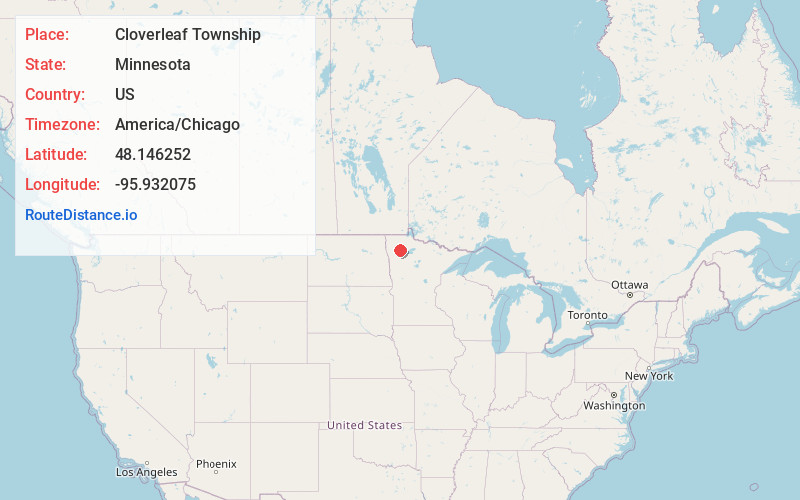
Full AddressCloverleaf Township, MN
-
Coordinates48.1462521, -95.9320751
-
LocationCloverleaf Township , Minnesota , US
-
TimezoneAmerica/Chicago
-
Current Local Time1:49:19 PM America/ChicagoMonday, June 16, 2025
-
Page Views0
About Cloverleaf Township
Clover Leaf Township is a township in Pennington County, Minnesota, United States. The population was 70 at the 2000 census. The unincorporated community of Mavie is located within the township.
Nearby Places
Found 10 places within 50 miles

Mavie
0.3 mi
0.5 km
Mavie, MN 56725
Get directions
Goodridge
5.8 mi
9.3 km
Goodridge, MN 56725
Get directions
High Landing
8.8 mi
14.2 km
High Landing, MN 56725
Get directions
Mud Lake
11.1 mi
17.9 km
Mud Lake, MN
Get directions
River Valley
11.1 mi
17.9 km
River Valley, MN 56742
Get directions
Dakota Junction
12.1 mi
19.5 km
Dakota Junction, MN 56701
Get directions
Hazel
12.1 mi
19.5 km
Hazel, MN 56754
Get directions
Deer Park Township
13.1 mi
21.1 km
Deer Park Township, MN
Get directions
Holt
15.7 mi
25.3 km
Holt, MN 56738
Get directions
Roland
15.7 mi
25.3 km
Roland, MN 56742
Get directions
Location Links
Local Weather
Weather Information
Coming soon!
Location Map
Static map view of Cloverleaf Township, Minnesota
Browse Places by Distance
Places within specific distances from Cloverleaf Township
Short Distances
Long Distances
Click any distance to see all places within that range from Cloverleaf Township. Distances shown in miles (1 mile ≈ 1.61 kilometers).