Distance to Hazel, Minnesota

Calculating Your Route
Just a moment while we process your request...
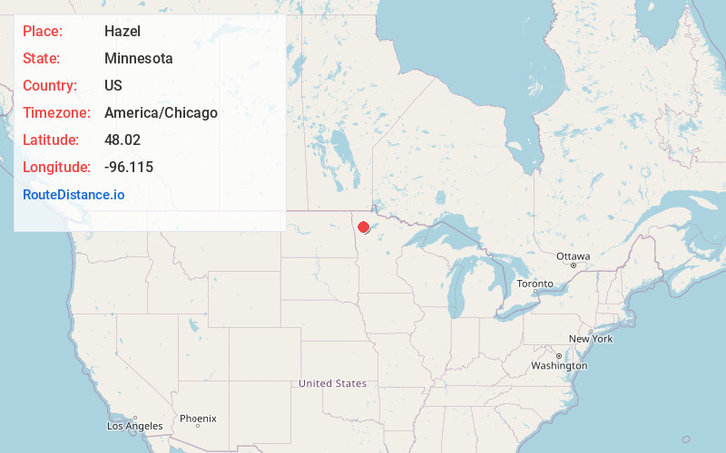
Location Information
-
Full AddressHazel, MN 56754
-
Coordinates48.02, -96.115
-
LocationHazel , Minnesota , US
-
TimezoneAmerica/Chicago
-
Current Local Time11:10:36 AM America/ChicagoThursday, June 26, 2025
-
Page Views0
About Hazel
Hazel is an unincorporated community in Pennington County, Minnesota, United States, along the Canadian Pacific Railway. The community is only marked on county abstracts and has no postal code. Hazel is the location of a Cenex Harvest States shipping facility.
Nearby Places
Found 10 places within 50 miles

St Hilaire
4.6 mi
7.4 km
St Hilaire, MN 56754
Get directions

Plummer
8.2 mi
13.2 km
Plummer, MN 56748
Get directions

Wylie
11.7 mi
18.8 km
Wylie, MN 56750
Get directions
Mavie
11.8 mi
19.0 km
Mavie, MN 56725
Get directions

Red Lake Falls
12.0 mi
19.3 km
Red Lake Falls, MN 56750
Get directions
High Landing
14.3 mi
23.0 km
High Landing, MN 56725
Get directions
Brooks
15.1 mi
24.3 km
Brooks, MN 56715
Get directions
River Valley
15.4 mi
24.8 km
River Valley, MN 56742
Get directions
Roland
16.4 mi
26.4 km
Roland, MN 56742
Get directions
Perault
16.5 mi
26.6 km
Perault, MN 56750
Get directions
Location Links
Local Weather
Weather Information
Coming soon!
Location Map
Static map view of Hazel, Minnesota
Browse Places by Distance
Places within specific distances from Hazel
Short Distances
Long Distances
Click any distance to see all places within that range from Hazel. Distances shown in miles (1 mile ≈ 1.61 kilometers).