Distance to Clyde, North Carolina

Calculating Your Route
Just a moment while we process your request...
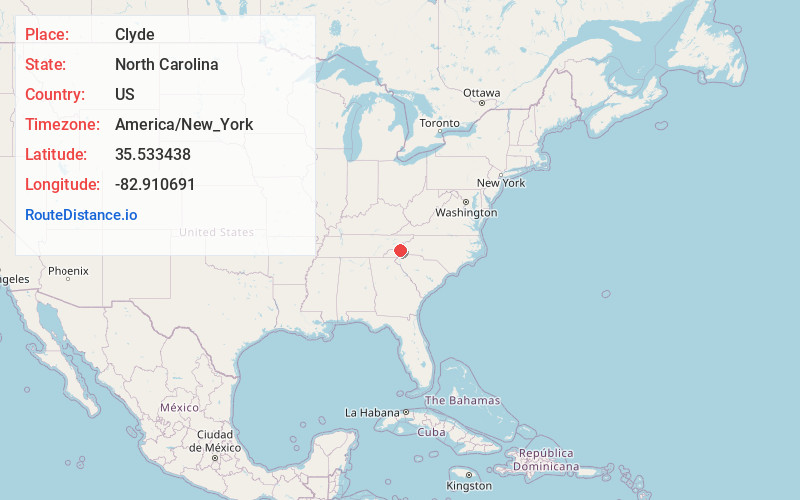
Location Information
-
Full AddressClyde, NC 28721
-
Coordinates35.5334379, -82.910691
-
LocationClyde , North Carolina , US
-
TimezoneAmerica/New_York
-
Current Local Time10:27:15 AM America/New_YorkFriday, May 30, 2025
-
Page Views0
About Clyde
Clyde is a town in Haywood County, North Carolina, United States. The 2010 census recorded the population at 1,223 people. It is part of the Asheville Metropolitan Statistical Area.


Nearby Places
Found 10 places within 50 miles

Lake Junaluska
2.8 mi
4.5 km
Lake Junaluska, NC
Get directions

Canton
4.1 mi
6.6 km
Canton, NC
Get directions

Waynesville
5.4 mi
8.7 km
Waynesville, NC 28786
Get directions

Maggie Valley
10.6 mi
17.1 km
Maggie Valley, NC
Get directions

Bent Creek
17.1 mi
27.5 km
Bent Creek, NC 28806
Get directions

Emma
18.5 mi
29.8 km
Emma, NC 28806
Get directions
Avery Creek
19.1 mi
30.7 km
Avery Creek, NC 28704
Get directions

Woodfin
19.7 mi
31.7 km
Woodfin, NC
Get directions

Sylva
20.3 mi
32.7 km
Sylva, NC 28779
Get directions

Asheville
21.0 mi
33.8 km
Asheville, NC
Get directions
Location Links
Local Weather
Weather Information
Coming soon!
Location Map
Static map view of Clyde, North Carolina
Browse Places by Distance
Places within specific distances from Clyde
Short Distances
Long Distances
Click any distance to see all places within that range from Clyde. Distances shown in miles (1 mile ≈ 1.61 kilometers).