Distance to Clyde, California

Calculating Your Route
Just a moment while we process your request...
Location Information
-
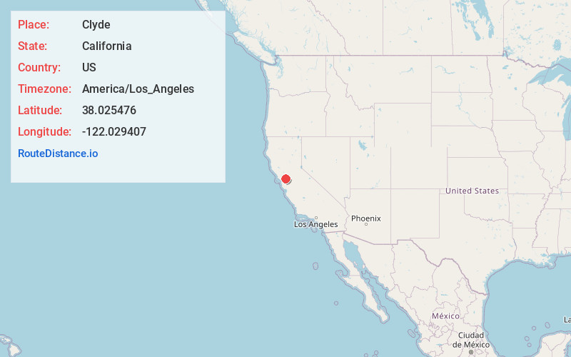
Full AddressClyde, CA 94520
-
Coordinates38.0254763, -122.029407
-
LocationClyde , California , US
-
TimezoneAmerica/Los_Angeles
-
Current Local Time12:41:07 PM America/Los_AngelesTuesday, June 24, 2025
-
Page Views0
About Clyde
Clyde is a census-designated place in Contra Costa County, California, United States. The population was 729 at the 2020 census. It is located six miles east of Martinez.
Nearby Places
Found 10 places within 50 miles

Concord
3.0 mi
4.8 km
Concord, CA
Get directions

Vine Hill
3.6 mi
5.8 km
Vine Hill, CA 94553
Get directions

Pacheco
3.6 mi
5.8 km
Pacheco, CA
Get directions

Bay Point
3.7 mi
6.0 km
Bay Point, CA
Get directions

Pleasant Hill
5.6 mi
9.0 km
Pleasant Hill, CA
Get directions

Martinez
5.7 mi
9.2 km
Martinez, CA 94553
Get directions
Alhambra Valley
6.6 mi
10.6 km
Alhambra Valley, CA 94553
Get directions

Benicia
7.2 mi
11.6 km
Benicia, CA
Get directions
Reliez Valley
7.3 mi
11.7 km
Reliez Valley, CA
Get directions

Clayton
7.7 mi
12.4 km
Clayton, CA
Get directions
Location Links
Local Weather
Weather Information
Coming soon!
Location Map
Static map view of Clyde, California
Browse Places by Distance
Places within specific distances from Clyde
Short Distances
Long Distances
Click any distance to see all places within that range from Clyde. Distances shown in miles (1 mile ≈ 1.61 kilometers).