Distance to Co-Operative, Kentucky

Calculating Your Route
Just a moment while we process your request...
Location Information
-
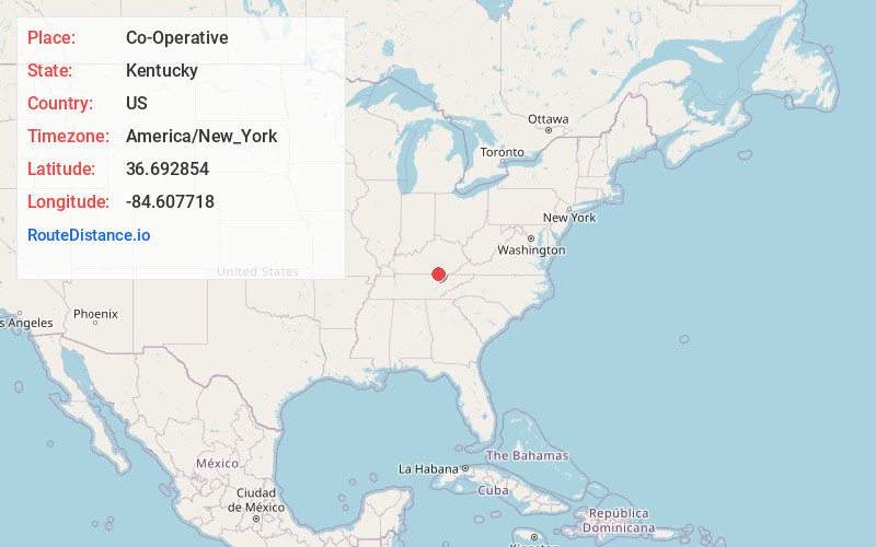
Full AddressCo-Operative, KY 42647
-
Coordinates36.6928537, -84.6077178
-
LocationCo-Operative , Kentucky , US
-
TimezoneAmerica/New_York
-
Current Local Time4:50:59 PM America/New_YorkTuesday, July 1, 2025
-
Page Views0
About Co-Operative
Co-Operative is an unincorporated community and coal town in McCreary County, Kentucky, United States. Their post office closed in 1984.
Co-Operative has been noted for its unusual place name.
Nearby Places
Found 10 places within 50 miles

Fidelity
2.0 mi
3.2 km
Fidelity, KY 42647
Get directions
Oz
2.4 mi
3.9 km
Oz, KY 42647
Get directions
Barthell
4.6 mi
7.4 km
Barthell, KY 42649
Get directions
Kidds Crossing
5.9 mi
9.5 km
Kidds Crossing, KY 42633
Get directions
Griffin
6.8 mi
10.9 km
Griffin, KY 42633
Get directions
Ritner
7.0 mi
11.3 km
Ritner, KY 42633
Get directions
Stearns
7.2 mi
11.6 km
Stearns, KY
Get directions
Marshes Siding
7.9 mi
12.7 km
Marshes Siding, KY 42653
Get directions

Whitley City
7.9 mi
12.7 km
Whitley City, KY 42653
Get directions
Parmleysville
8.2 mi
13.2 km
Parmleysville, KY 42633
Get directions
Location Links
Local Weather
Weather Information
Coming soon!
Location Map
Static map view of Co-Operative, Kentucky
Browse Places by Distance
Places within specific distances from Co-Operative
Short Distances
Long Distances
Click any distance to see all places within that range from Co-Operative. Distances shown in miles (1 mile ≈ 1.61 kilometers).