Distance to Coal Hollow, Illinois

Calculating Your Route
Just a moment while we process your request...
Location Information
-
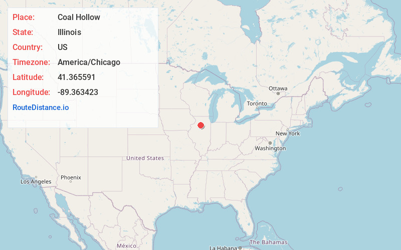
Full AddressCoal Hollow, IL 61356
-
Coordinates41.3655914, -89.363423
-
LocationCoal Hollow , Illinois , US
-
TimezoneAmerica/Chicago
-
Current Local Time9:05:57 AM America/ChicagoThursday, May 29, 2025
-
Page Views0
About Coal Hollow
Coal Hollow is an unincorporated community in Bureau County, Illinois, United States, located on U.S. Route 6, east of Princeton.
Nearby Places
Found 10 places within 50 miles

Hollowayville
3.4 mi
5.5 km
Hollowayville, IL 61356
Get directions

DePue
4.1 mi
6.6 km
DePue, IL
Get directions
Malden
4.1 mi
6.6 km
Malden, IL
Get directions
Seatonville
4.5 mi
7.2 km
Seatonville, IL
Get directions

Dover
5.2 mi
8.4 km
Dover, IL
Get directions

Princeton
5.3 mi
8.5 km
Princeton, IL 61356
Get directions
Ladd
7.6 mi
12.2 km
Ladd, IL
Get directions

Hennepin
7.8 mi
12.6 km
Hennepin, IL
Get directions
Cherry
8.9 mi
14.3 km
Cherry, IL
Get directions

Spring Valley
8.9 mi
14.3 km
Spring Valley, IL 61362
Get directions
Location Links
Local Weather
Weather Information
Coming soon!
Location Map
Static map view of Coal Hollow, Illinois
Browse Places by Distance
Places within specific distances from Coal Hollow
Short Distances
Long Distances
Click any distance to see all places within that range from Coal Hollow. Distances shown in miles (1 mile ≈ 1.61 kilometers).