Distance to Coal Springs, South Dakota

Calculating Your Route
Just a moment while we process your request...
Location Information
-
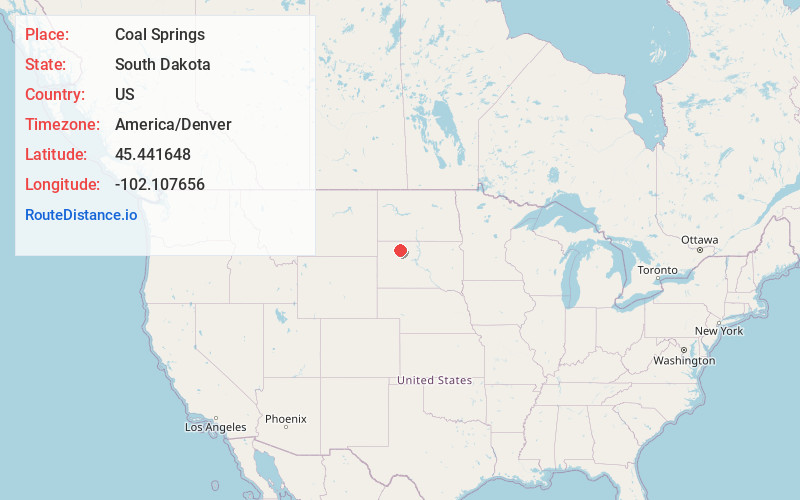
Full AddressCoal Springs, SD 57644
-
Coordinates45.4416481, -102.1076557
-
LocationCoal Springs , South Dakota , US
-
TimezoneAmerica/Denver
-
Current Local Time1:07:59 PM America/DenverWednesday, June 18, 2025
-
Page Views0
Nearby Places
Found 10 places within 50 miles

Perkins County
11.0 mi
17.7 km
Perkins County, SD
Get directions

Bison
18.2 mi
29.3 km
Bison, SD 57620
Get directions

Faith
29.1 mi
46.8 km
Faith, SD 57626
Get directions
Bixby
30.0 mi
48.3 km
Bixby, SD 57626
Get directions

Isabel
33.1 mi
53.3 km
Isabel, SD 57633
Get directions
Prairie City
34.5 mi
55.5 km
Prairie City, SD 57649
Get directions
Lemmon
34.6 mi
55.7 km
Lemmon, SD 57638
Get directions
Dupree
36.7 mi
59.1 km
Dupree, SD 57623
Get directions
Keldron
36.8 mi
59.2 km
Keldron, SD 57634
Get directions

Morristown
39.0 mi
62.8 km
Morristown, SD 57645
Get directions
Location Links
Local Weather
Weather Information
Coming soon!
Location Map
Static map view of Coal Springs, South Dakota
Browse Places by Distance
Places within specific distances from Coal Springs
Short Distances
Long Distances
Click any distance to see all places within that range from Coal Springs. Distances shown in miles (1 mile ≈ 1.61 kilometers).