Distance to Coaldale, Pennsylvania

Calculating Your Route
Just a moment while we process your request...
Location Information
-
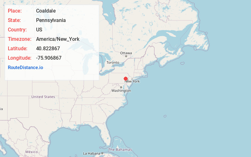
Full AddressCoaldale, PA
-
Coordinates40.8228672, -75.9068667
-
LocationCoaldale , Pennsylvania , US
-
TimezoneAmerica/New_York
-
Current Local Time10:39:40 PM America/New_YorkThursday, June 12, 2025
-
Page Views0
About Coaldale
Coaldale is a borough in Schuylkill County, Pennsylvania, United States. Initially settled in 1827, it was incorporated in 1906 from part of the former Rahn Township; it is named for the coal industry—wherein, it was one of the principal early mining centers.


Nearby Places
Found 10 places within 50 miles

Lansford
1.4 mi
2.3 km
Lansford, PA
Get directions

Summit Hill
1.9 mi
3.1 km
Summit Hill, PA
Get directions

Tamaqua
3.7 mi
6.0 km
Tamaqua, PA 18252
Get directions

Nesquehoning
5.8 mi
9.3 km
Nesquehoning, PA
Get directions

McAdoo
7.0 mi
11.3 km
McAdoo, PA 18237
Get directions

Mahoning Township
7.1 mi
11.4 km
Mahoning Township, PA 18235
Get directions

Weatherly
9.2 mi
14.8 km
Weatherly, PA 18255
Get directions

Jim Thorpe
9.8 mi
15.8 km
Jim Thorpe, PA
Get directions

Hazleton
10.0 mi
16.1 km
Hazleton, PA
Get directions

Lehighton
10.1 mi
16.3 km
Lehighton, PA 18235
Get directions
Location Links
Local Weather
Weather Information
Coming soon!
Location Map
Static map view of Coaldale, Pennsylvania
Browse Places by Distance
Places within specific distances from Coaldale
Short Distances
Long Distances
Click any distance to see all places within that range from Coaldale. Distances shown in miles (1 mile ≈ 1.61 kilometers).