Distance to Coaling, Alabama

Calculating Your Route
Just a moment while we process your request...
Location Information
-
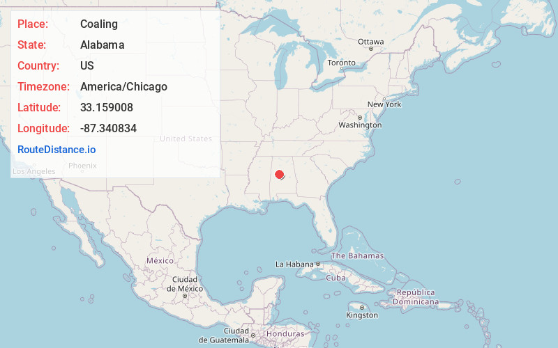
Full AddressCoaling, AL
-
Coordinates33.1590078, -87.340834
-
LocationCoaling , Alabama , US
-
TimezoneAmerica/Chicago
-
Current Local Time8:12:14 PM America/ChicagoSunday, May 25, 2025
-
Page Views0
About Coaling
Coaling is a town in Tuscaloosa County, Alabama, United States. It incorporated in September 1997. At the 2020 census, the population was 2,035. It is part of the Tuscaloosa, Alabama Metropolitan Statistical Area.
Nearby Places
Found 10 places within 50 miles

Brookwood
6.8 mi
10.9 km
Brookwood, AL
Get directions

Cottondale
7.0 mi
11.3 km
Cottondale, AL
Get directions

Holt
9.8 mi
15.8 km
Holt, AL 35404
Get directions

Tuscaloosa
13.5 mi
21.7 km
Tuscaloosa, AL
Get directions

Lake View
14.5 mi
23.3 km
Lake View, AL 35111
Get directions

Northport
14.5 mi
23.3 km
Northport, AL
Get directions

Brent
18.4 mi
29.6 km
Brent, AL
Get directions

Centreville
18.9 mi
30.4 km
Centreville, AL 35042
Get directions

Moundville
20.1 mi
32.3 km
Moundville, AL
Get directions

McCalla
22.3 mi
35.9 km
McCalla, AL
Get directions
Location Links
Local Weather
Weather Information
Coming soon!
Location Map
Static map view of Coaling, Alabama
Browse Places by Distance
Places within specific distances from Coaling
Short Distances
Long Distances
Click any distance to see all places within that range from Coaling. Distances shown in miles (1 mile ≈ 1.61 kilometers).