Distance to Coalvale, Kansas

Calculating Your Route
Just a moment while we process your request...
Location Information
-
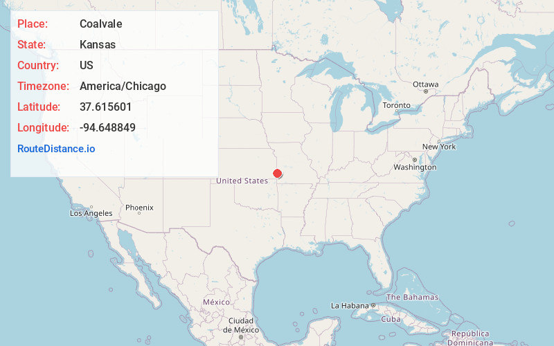
Full AddressCoalvale, KS 66711
-
Coordinates37.6156011, -94.648849
-
LocationCoalvale , Kansas , US
-
TimezoneAmerica/Chicago
-
Current Local Time11:38:41 PM America/ChicagoSaturday, June 21, 2025
-
Page Views0
About Coalvale
Coalvale is an unincorporated community in Crawford County, Kansas, United States.
Nearby Places
Found 10 places within 50 miles

Gross
1.0 mi
1.6 km
Gross, KS 66711
Get directions

Arcadia
2.3 mi
3.7 km
Arcadia, KS 66711
Get directions
Oskaloosa
3.5 mi
5.6 km
Oskaloosa, Leroy Township, MO 64762
Get directions
Croweburg
4.2 mi
6.8 km
Croweburg, KS 66756
Get directions
Mulberry
4.3 mi
6.9 km
Mulberry, KS 66756
Get directions
Burgess
4.5 mi
7.2 km
Burgess, MO 64769
Get directions
Englevale
4.6 mi
7.4 km
Englevale, Lincoln Township, KS 66712
Get directions
Dry Wood
4.6 mi
7.4 km
Dry Wood, KS 66711
Get directions

Arma
5.7 mi
9.2 km
Arma, KS 66712
Get directions

Franklin
7.0 mi
11.3 km
Franklin, KS
Get directions
Location Links
Local Weather
Weather Information
Coming soon!
Location Map
Static map view of Coalvale, Kansas
Browse Places by Distance
Places within specific distances from Coalvale
Short Distances
Long Distances
Click any distance to see all places within that range from Coalvale. Distances shown in miles (1 mile ≈ 1.61 kilometers).