Distance to Arma, Kansas

Calculating Your Route
Just a moment while we process your request...
Location Information
-
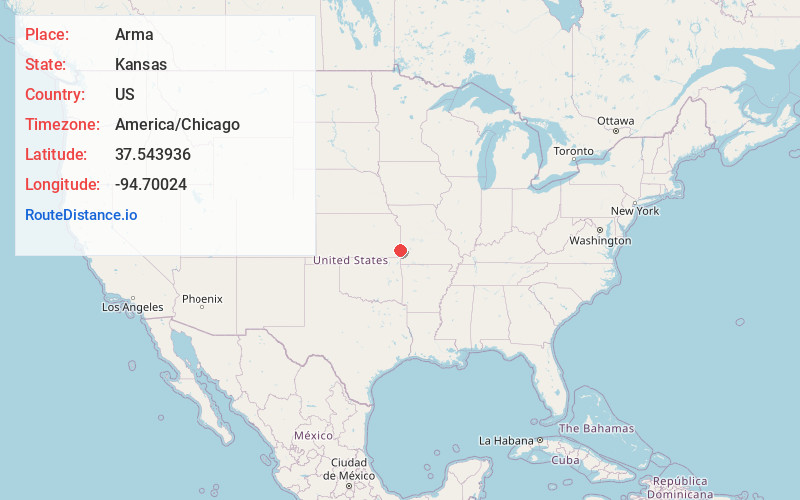
Full AddressArma, KS 66712
-
Coordinates37.5439358, -94.7002395
-
LocationArma , Kansas , US
-
TimezoneAmerica/Chicago
-
Current Local Time1:35:20 PM America/ChicagoTuesday, June 24, 2025
-
Page Views0
About Arma
Arma is a city in Crawford County, Kansas, United States. As of the 2020 census, the population of the city was 1,407.

Nearby Places
Found 10 places within 50 miles

Frontenac
6.1 mi
9.8 km
Frontenac, KS
Get directions

Girard
7.9 mi
12.7 km
Girard, KS 66743
Get directions

Pittsburg
9.2 mi
14.8 km
Pittsburg, KS 66762
Get directions

Fort Scott
20.4 mi
32.8 km
Fort Scott, KS 66701
Get directions

Lamar
23.5 mi
37.8 km
Lamar, MO 64759
Get directions

Carl Junction
26.4 mi
42.5 km
Carl Junction, MO
Get directions

Columbus
27.1 mi
43.6 km
Columbus, KS 66725
Get directions

Oronogo
27.6 mi
44.4 km
Oronogo, MO
Get directions

Nevada
27.8 mi
44.7 km
Nevada, MO 64772
Get directions

Erie
29.8 mi
48.0 km
Erie, KS 66733
Get directions
Location Links
Local Weather
Weather Information
Coming soon!
Location Map
Static map view of Arma, Kansas
Browse Places by Distance
Places within specific distances from Arma
Short Distances
Long Distances
Click any distance to see all places within that range from Arma. Distances shown in miles (1 mile ≈ 1.61 kilometers).