Distance to Lamar, Missouri

Calculating Your Route
Just a moment while we process your request...
Location Information
-
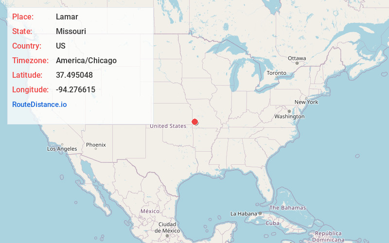
Full AddressLamar, MO 64759
-
Coordinates37.4950478, -94.2766148
-
LocationLamar , Missouri , US
-
TimezoneAmerica/Chicago
-
Current Local Time11:08:43 PM America/ChicagoWednesday, June 18, 2025
-
Page Views0
About Lamar
Lamar is a city in and the county seat of Barton County, Missouri, United States. As of the 2020 census, the city population was 4,266. It is known as the birthplace of Harry S. Truman, the 33rd president of the United States.
The Lamar city government is consolidated with Barton County’s City Township.


Nearby Places
Found 10 places within 50 miles

Carthage
22.1 mi
35.6 km
Carthage, MO 64836
Get directions

Nevada
24.2 mi
38.9 km
Nevada, MO 64772
Get directions

Pittsburg
24.2 mi
38.9 km
Pittsburg, KS 66762
Get directions

Webb City
26.2 mi
42.2 km
Webb City, MO
Get directions

Carl Junction
27.1 mi
43.6 km
Carl Junction, MO
Get directions

Joplin
31.2 mi
50.2 km
Joplin, MO
Get directions

Fort Scott
33.5 mi
53.9 km
Fort Scott, KS 66701
Get directions

Mt Vernon
36.9 mi
59.4 km
Mt Vernon, MO 65712
Get directions

Neosho
43.6 mi
70.2 km
Neosho, MO 64850
Get directions

Monett
44.1 mi
71.0 km
Monett, MO
Get directions
Location Links
Local Weather
Weather Information
Coming soon!
Location Map
Static map view of Lamar, Missouri
Browse Places by Distance
Places within specific distances from Lamar
Short Distances
Long Distances
Click any distance to see all places within that range from Lamar. Distances shown in miles (1 mile ≈ 1.61 kilometers).