Distance to Coates Bend, Alabama

Calculating Your Route
Just a moment while we process your request...
Location Information
-
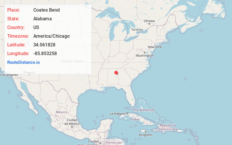
Full AddressCoates Bend, AL 35901
-
Coordinates34.0618282, -85.853258
-
LocationCoates Bend , Alabama , US
-
TimezoneAmerica/Chicago
-
Current Local Time5:43:57 PM America/ChicagoWednesday, June 18, 2025
-
Page Views0
About Coates Bend
Coats Bend is a census-designated place in Etowah County, Alabama, United States. Its population was 1,394 as of the 2010 census. A post office was established in 1878 and was in operation until 1903.
Nearby Places
Found 10 places within 50 miles

Hokes Bluff
4.5 mi
7.2 km
Hokes Bluff, AL
Get directions

Glencoe
8.5 mi
13.7 km
Glencoe, AL
Get directions

Gadsden
9.4 mi
15.1 km
Gadsden, AL
Get directions

Centre
11.8 mi
19.0 km
Centre, AL 35960
Get directions

Rainbow City
13.1 mi
21.1 km
Rainbow City, AL 35906
Get directions

Southside
13.6 mi
21.9 km
Southside, AL
Get directions

Attalla
13.8 mi
22.2 km
Attalla, AL
Get directions

Collinsville
14.0 mi
22.5 km
Collinsville, AL 35961
Get directions
Whitesboro
14.2 mi
22.9 km
Whitesboro, AL
Get directions
Carlisle-Rockledge
15.0 mi
24.1 km
Carlisle-Rockledge, AL
Get directions
Location Links
Local Weather
Weather Information
Coming soon!
Location Map
Static map view of Coates Bend, Alabama
Browse Places by Distance
Places within specific distances from Coates Bend
Short Distances
Long Distances
Click any distance to see all places within that range from Coates Bend. Distances shown in miles (1 mile ≈ 1.61 kilometers).