Distance to Collinsville, Alabama

Calculating Your Route
Just a moment while we process your request...
Location Information
-
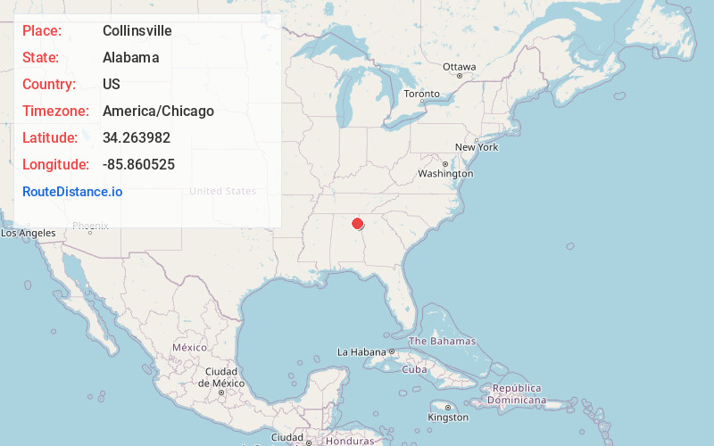
Full AddressCollinsville, AL 35961
-
Coordinates34.2639821, -85.8605251
-
LocationCollinsville , Alabama , US
-
TimezoneAmerica/Chicago
-
Current Local Time8:06:08 AM America/ChicagoTuesday, June 10, 2025
-
Website
-
Page Views0
About Collinsville
Collinsville is a town in DeKalb and Cherokee counties in the U.S. state of Alabama. It was incorporated in 1887. As of the 2010 census, the population was 1,983.
Collinsville's largest employer is Koch Foods. It is a poultry plant that employees approximately 800 employees.


Nearby Places
Found 10 places within 50 miles

Crossville
7.8 mi
12.6 km
Crossville, AL
Get directions

Centre
12.9 mi
20.8 km
Centre, AL 35960
Get directions

Whitesboro
13.8 mi
22.2 km
Whitesboro, AL
Get directions

Fort Payne
14.8 mi
23.8 km
Fort Payne, AL
Get directions

Rainsville
15.9 mi
25.6 km
Rainsville, AL
Get directions

Boaz
17.2 mi
27.7 km
Boaz, AL
Get directions
Hokes Bluff
18.4 mi
29.6 km
Hokes Bluff, AL
Get directions
Carlisle-Rockledge
18.8 mi
30.3 km
Carlisle-Rockledge, AL
Get directions

Gadsden
19.2 mi
30.9 km
Gadsden, AL
Get directions

Albertville
19.9 mi
32.0 km
Albertville, AL
Get directions
Location Links
Local Weather
Weather Information
Coming soon!
Location Map
Static map view of Collinsville, Alabama
Browse Places by Distance
Places within specific distances from Collinsville
Short Distances
Long Distances
Click any distance to see all places within that range from Collinsville. Distances shown in miles (1 mile ≈ 1.61 kilometers).