Distance to Coburn, Louisiana

Calculating Your Route
Just a moment while we process your request...
Location Information
-
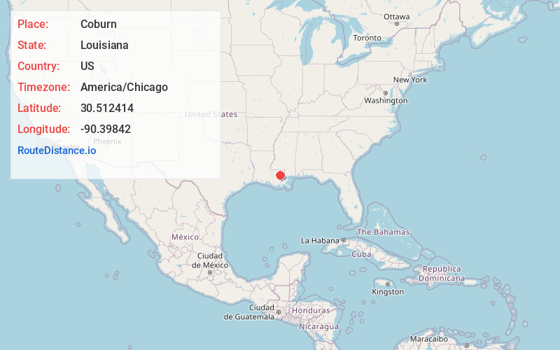
Full AddressCoburn, LA 70401
-
Coordinates30.5124136, -90.3984201
-
LocationLouisiana , US
-
TimezoneAmerica/Chicago
-
Current Local Time11:58:24 AM America/ChicagoWednesday, June 18, 2025
-
Page Views0
Nearby Places
Found 10 places within 50 miles

Hammond
3.8 mi
6.1 km
Hammond, LA
Get directions

Natalbany
5.6 mi
9.0 km
Natalbany, LA
Get directions

Ponchatoula
5.7 mi
9.2 km
Ponchatoula, LA
Get directions

Tickfaw
6.8 mi
10.9 km
Tickfaw, LA 70466
Get directions
Tangipahoa Parish
7.5 mi
12.1 km
Tangipahoa Parish, LA
Get directions
Wadesboro
8.0 mi
12.9 km
Wadesboro, LA 70454
Get directions
Woodhaven
9.3 mi
15.0 km
Woodhaven, LA 70466
Get directions
Rosaryville
9.5 mi
15.3 km
Rosaryville, LA 70454
Get directions

Independence
10.5 mi
16.9 km
Independence, LA
Get directions

Springfield
10.6 mi
17.1 km
Springfield, LA 70462
Get directions
Location Links
Local Weather
Weather Information
Coming soon!
Location Map
Static map view of Coburn, Louisiana
Browse Places by Distance
Places within specific distances from Coburn
Short Distances
Long Distances
Click any distance to see all places within that range from Coburn. Distances shown in miles (1 mile ≈ 1.61 kilometers).