Distance to Cockrell, Missouri

Calculating Your Route
Just a moment while we process your request...
Location Information
-
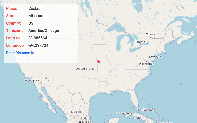
Full AddressCockrell, Van Buren Township, MO 64086
-
Coordinates38.8855639, -94.2377243
-
LocationVan Buren Township , Missouri , US
-
TimezoneAmerica/Chicago
-
Current Local Time4:14:21 PM America/ChicagoWednesday, June 18, 2025
-
Page Views0
Nearby Places
Found 10 places within 50 miles

Lake Lotawana
2.6 mi
4.2 km
Lake Lotawana, MO
Get directions

Lone Jack
3.6 mi
5.8 km
Lone Jack, MO
Get directions

Greenwood
6.2 mi
10.0 km
Greenwood, MO
Get directions

Baldwin Park
6.3 mi
10.1 km
Baldwin Park, MO 64080
Get directions
Sni Mills
6.8 mi
10.9 km
Sni Mills, Van Buren Township, MO 64075
Get directions

Pleasant Hill
7.0 mi
11.3 km
Pleasant Hill, MO
Get directions

Lake Winnebago
7.5 mi
12.1 km
Lake Winnebago, MO
Get directions

Lee's Summit
8.0 mi
12.9 km
Lee's Summit, MO
Get directions

Grain Valley
9.2 mi
14.8 km
Grain Valley, MO
Get directions

Blue Springs
9.4 mi
15.1 km
Blue Springs, MO
Get directions
Location Links
Local Weather
Weather Information
Coming soon!
Location Map
Static map view of Cockrell, Missouri
Browse Places by Distance
Places within specific distances from Cockrell
Short Distances
Long Distances
Click any distance to see all places within that range from Cockrell. Distances shown in miles (1 mile ≈ 1.61 kilometers).