Distance to Lone Jack, Missouri

Calculating Your Route
Just a moment while we process your request...
Location Information
-
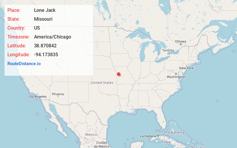
Full AddressLone Jack, MO
-
Coordinates38.8708419, -94.1738345
-
LocationLone Jack , Missouri , US
-
TimezoneAmerica/Chicago
-
Current Local Time9:54:53 PM America/ChicagoThursday, May 29, 2025
-
Page Views0
About Lone Jack
Lone Jack is a city in Jackson County, Missouri, United States. The population was 1,492 at the 2020 U.S. Census. It is part of the Kansas City metropolitan area.


Nearby Places
Found 10 places within 50 miles

Lake Lotawana
5.2 mi
8.4 km
Lake Lotawana, MO
Get directions

Pleasant Hill
7.7 mi
12.4 km
Pleasant Hill, MO
Get directions

Greenwood
9.2 mi
14.8 km
Greenwood, MO
Get directions

Oak Grove
9.6 mi
15.4 km
Oak Grove, MO
Get directions

Grain Valley
10.0 mi
16.1 km
Grain Valley, MO
Get directions

Lee's Summit
11.5 mi
18.5 km
Lee's Summit, MO
Get directions

Blue Springs
11.6 mi
18.7 km
Blue Springs, MO
Get directions

Holden
14.6 mi
23.5 km
Holden, MO 64040
Get directions

Odessa
14.8 mi
23.8 km
Odessa, MO 64076
Get directions

Raymore
15.7 mi
25.3 km
Raymore, MO 64083
Get directions
Location Links
Local Weather
Weather Information
Coming soon!
Location Map
Static map view of Lone Jack, Missouri
Browse Places by Distance
Places within specific distances from Lone Jack
Short Distances
Long Distances
Click any distance to see all places within that range from Lone Jack. Distances shown in miles (1 mile ≈ 1.61 kilometers).