Distance to Coffeepot Rock, Arizona

Calculating Your Route
Just a moment while we process your request...
Location Information
-
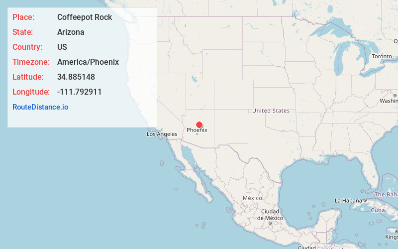
Full AddressCoffeepot Rock, Arizona 86336
-
Coordinates34.8851477, -111.7929107
-
LocationArizona , US
-
TimezoneAmerica/Phoenix
-
Current Local Time7:01:36 AM America/PhoenixFriday, June 20, 2025
-
Page Views0


Nearby Places
Found 10 places within 50 miles

Sedona
2.0 mi
3.2 km
Sedona, AZ 86336
Get directions

Grasshopper Point
3.5 mi
5.6 km
Grasshopper Point, Arizona 86336
Get directions

Indian Gardens
4.2 mi
6.8 km
Indian Gardens, Oak Creek Canyon, AZ 86336
Get directions

Village of Oak Creek
7.4 mi
11.9 km
Village of Oak Creek, AZ 86351
Get directions

Munds Park
9.6 mi
15.4 km
Munds Park, AZ
Get directions

Cornville
13.7 mi
22.0 km
Cornville, AZ 86325
Get directions
Mountainaire
15.6 mi
25.1 km
Mountainaire, AZ
Get directions

Kachina Village
15.7 mi
25.3 km
Kachina Village, AZ 86001
Get directions

Cottonwood
15.9 mi
25.6 km
Cottonwood, AZ
Get directions

Cottonwood-Verde Village
17.0 mi
27.4 km
Cottonwood-Verde Village, AZ 86326
Get directions
Location Links
Local Weather
Weather Information
Coming soon!
Location Map
Static map view of Coffeepot Rock, Arizona
Browse Places by Distance
Places within specific distances from Coffeepot Rock
Short Distances
Long Distances
Click any distance to see all places within that range from Coffeepot Rock. Distances shown in miles (1 mile ≈ 1.61 kilometers).