Distance to Cohutta, Georgia

Calculating Your Route
Just a moment while we process your request...
Location Information
-
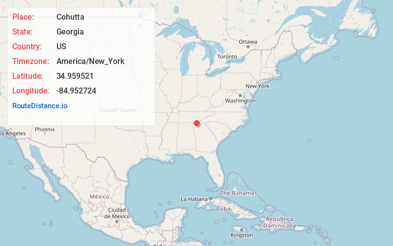
Full AddressCohutta, GA 30710
-
Coordinates34.9595209, -84.9527235
-
LocationCohutta , Georgia , US
-
TimezoneAmerica/New_York
-
Current Local Time6:41:40 AM America/New_YorkThursday, June 19, 2025
-
Page Views0
About Cohutta
Cohutta is a town in Whitfield County, Georgia, United States. It is part of the Dalton Metropolitan Statistical Area. The population was 764 at the 2020 census.


Nearby Places
Found 10 places within 50 miles

Varnell
4.2 mi
6.8 km
Varnell, GA
Get directions

Apison
6.0 mi
9.7 km
Apison, TN
Get directions

Collegedale
8.5 mi
13.7 km
Collegedale, TN
Get directions

Ringgold
9.4 mi
15.1 km
Ringgold, GA
Get directions

Tunnel Hill
9.7 mi
15.6 km
Tunnel Hill, GA 30755
Get directions

Wildwood Lake
10.7 mi
17.2 km
Wildwood Lake, TN 37323
Get directions

South Cleveland
11.0 mi
17.7 km
South Cleveland, TN
Get directions

Dalton
13.1 mi
21.1 km
Dalton, GA
Get directions

Eton
14.2 mi
22.9 km
Eton, GA 30705
Get directions

Cleveland
14.5 mi
23.3 km
Cleveland, TN
Get directions
Location Links
Local Weather
Weather Information
Coming soon!
Location Map
Static map view of Cohutta, Georgia
Browse Places by Distance
Places within specific distances from Cohutta
Short Distances
Long Distances
Click any distance to see all places within that range from Cohutta. Distances shown in miles (1 mile ≈ 1.61 kilometers).