Distance to Tunnel Hill, Georgia

Calculating Your Route
Just a moment while we process your request...
Location Information
-
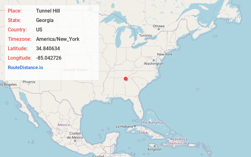
Full AddressTunnel Hill, GA 30755
-
Coordinates34.8406339, -85.0427257
-
LocationTunnel Hill , Georgia , US
-
TimezoneAmerica/New_York
-
Current Local Time9:06:13 PM America/New_YorkThursday, June 19, 2025
-
Page Views0
About Tunnel Hill
Tunnel Hill is a city in northwest Whitfield County and southern Catoosa County, Georgia, United States. It is part of the Dalton Metropolitan Statistical Area. The population was 963 at the 2020 census. The city is named for the Chetoogeta Mountain Tunnel, a 1,497-foot railroad tunnel built in the late 1840s.


Nearby Places
Found 10 places within 50 miles

Varnell
5.7 mi
9.2 km
Varnell, GA
Get directions

Dalton
6.4 mi
10.3 km
Dalton, GA
Get directions

Ringgold
6.4 mi
10.3 km
Ringgold, GA
Get directions

Rock Spring
11.3 mi
18.2 km
Rock Spring, GA 30739
Get directions

Apison
12.7 mi
20.4 km
Apison, TN
Get directions

Chickamauga
14.2 mi
22.9 km
Chickamauga, GA 30707
Get directions

Fort Oglethorpe
14.3 mi
23.0 km
Fort Oglethorpe, GA
Get directions

Collegedale
14.7 mi
23.7 km
Collegedale, TN
Get directions

East Ridge
14.9 mi
24.0 km
East Ridge, TN
Get directions

Lakeview
15.5 mi
24.9 km
Lakeview, GA 30741
Get directions
Location Links
Local Weather
Weather Information
Coming soon!
Location Map
Static map view of Tunnel Hill, Georgia
Browse Places by Distance
Places within specific distances from Tunnel Hill
Short Distances
Long Distances
Click any distance to see all places within that range from Tunnel Hill. Distances shown in miles (1 mile ≈ 1.61 kilometers).