Distance to Coiltown, Kentucky

Calculating Your Route
Just a moment while we process your request...
Location Information
-
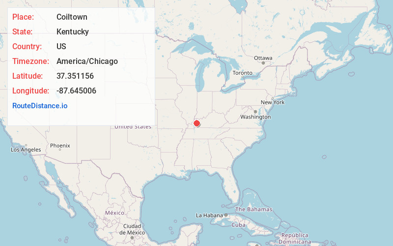
Full AddressCoiltown, KY 42441
-
Coordinates37.3511562, -87.6450061
-
LocationKentucky , US
-
TimezoneAmerica/Chicago
-
Current Local Time6:06:06 AM America/ChicagoThursday, May 22, 2025
-
Page Views0
Nearby Places
Found 10 places within 50 miles

Nebo
2.2 mi
3.5 km
Nebo, KY 42441
Get directions

Manitou
3.8 mi
6.1 km
Manitou, KY
Get directions
Rabbit Ridge
4.9 mi
7.9 km
Rabbit Ridge, KY 42441
Get directions
Richland
5.8 mi
9.3 km
Richland, KY 42431
Get directions
Mitchell Hill
5.9 mi
9.5 km
Mitchell Hill, Madisonville, KY 42431
Get directions
Beulah
5.9 mi
9.5 km
Beulah, KY 42408
Get directions
Pee Vee
6.5 mi
10.5 km
Pee Vee, KY 42431
Get directions
Sixth Vein
7.1 mi
11.4 km
Sixth Vein, KY 42408
Get directions

Providence
7.2 mi
11.6 km
Providence, KY 42450
Get directions
Veazey
7.3 mi
11.7 km
Veazey, KY 42441
Get directions
Location Links
Local Weather
Weather Information
Coming soon!
Location Map
Static map view of Coiltown, Kentucky
Browse Places by Distance
Places within specific distances from Coiltown
Short Distances
Long Distances
Click any distance to see all places within that range from Coiltown. Distances shown in miles (1 mile ≈ 1.61 kilometers).