Distance to Coker Creek, Tennessee

Calculating Your Route
Just a moment while we process your request...
Location Information
-
Full AddressCoker Creek, TN
-
Coordinates35.2656328, -84.2857542
-
LocationCoker Creek , Tennessee , US
-
TimezoneAmerica/New_York
-
Current Local Time12:25:18 PM America/New_YorkThursday, June 19, 2025
-
Page Views0
About Coker Creek
Coker Creek is an unincorporated community in Monroe County, Tennessee, United States. It is located on Tennessee State Route 68, 6.7 miles south of Tellico Plains. Its population in the 2020 census was 150.


Nearby Places
Found 10 places within 50 miles

Tellico Plains
6.7 mi
10.8 km
Tellico Plains, TN 37385
Get directions

Farner
7.9 mi
12.7 km
Farner, TN 37333
Get directions

Etowah
14.1 mi
22.7 km
Etowah, TN
Get directions

Delano
15.1 mi
24.3 km
Delano, TN
Get directions

Englewood
15.8 mi
25.4 km
Englewood, TN 37329
Get directions

Ducktown
16.8 mi
27.0 km
Ducktown, TN
Get directions

Madisonville
18.1 mi
29.1 km
Madisonville, TN 37354
Get directions

Murphy
18.8 mi
30.3 km
Murphy, NC 28906
Get directions

Copperhill
19.7 mi
31.7 km
Copperhill, TN 37317
Get directions

McCaysville
19.9 mi
32.0 km
McCaysville, GA
Get directions
Location Links
Local Weather
Weather Information
Coming soon!
Location Map
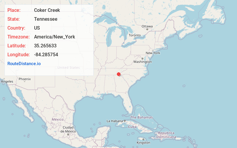
Static map view of Coker Creek, Tennessee
Browse Places by Distance
Places within specific distances from Coker Creek
Short Distances
Long Distances
Click any distance to see all places within that range from Coker Creek. Distances shown in miles (1 mile ≈ 1.61 kilometers).