Distance to Delano, Tennessee

Calculating Your Route
Just a moment while we process your request...
Location Information
-
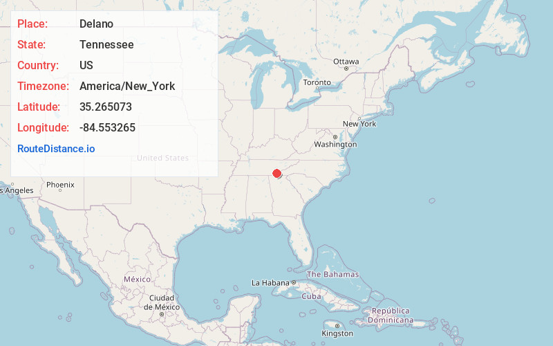
Full AddressDelano, TN
-
Coordinates35.265073, -84.5532652
-
LocationDelano , Tennessee , US
-
TimezoneAmerica/New_York
-
Current Local Time9:55:17 PM America/New_YorkSunday, June 1, 2025
-
Page Views0
About Delano
Delano is an unincorporated community in Polk County, Tennessee, United States. It is located near the junction of U.S. Route 411, Tennessee State Route 30 and Tennessee State Route 163 4.3 miles south-southwest of Etowah. Delano has a post office with ZIP code 37325, which opened on August 14, 1909.


Nearby Places
Found 10 places within 50 miles

Etowah
4.3 mi
6.9 km
Etowah, TN
Get directions

Benton
8.5 mi
13.7 km
Benton, TN 37307
Get directions

Riceville
11.4 mi
18.3 km
Riceville, TN 37370
Get directions

Englewood
11.7 mi
18.8 km
Englewood, TN 37329
Get directions

Athens
12.5 mi
20.1 km
Athens, TN 37303
Get directions

Tellico Plains
16.1 mi
25.9 km
Tellico Plains, TN 37385
Get directions
East Cleveland
18.6 mi
29.9 km
East Cleveland, TN
Get directions

Cleveland
19.7 mi
31.7 km
Cleveland, TN
Get directions

Hopewell
20.5 mi
33.0 km
Hopewell, TN 37312
Get directions

Madisonville
20.6 mi
33.2 km
Madisonville, TN 37354
Get directions
Location Links
Local Weather
Weather Information
Coming soon!
Location Map
Static map view of Delano, Tennessee
Browse Places by Distance
Places within specific distances from Delano
Short Distances
Long Distances
Click any distance to see all places within that range from Delano. Distances shown in miles (1 mile ≈ 1.61 kilometers).