Distance to Colcord Mountain Estates, Arizona

Calculating Your Route
Just a moment while we process your request...
Location Information
-
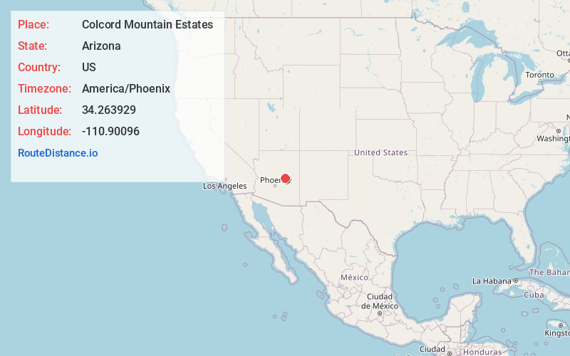
Full AddressColcord Mountain Estates, AZ 85541
-
Coordinates34.2639293, -110.9009598
-
LocationArizona , US
-
TimezoneAmerica/Phoenix
-
Current Local Time12:32:17 AM America/PhoenixMonday, June 2, 2025
-
Page Views0
Nearby Places
Found 10 places within 50 miles

Willow Springs Lake
3.4 mi
5.5 km
Willow Springs Lake, Arizona 85931
Get directions

Bear Flat Trail Tank
6.9 mi
11.1 km
Bear Flat Trail Tank, Arizona 85541
Get directions
Hunter Creek
7.1 mi
11.4 km
Hunter Creek, AZ 85541
Get directions
Mountain Meadow
7.3 mi
11.7 km
Mountain Meadow, Christopher Creek, AZ 85541
Get directions
Spurlock
11.0 mi
17.7 km
Spurlock, Young, AZ 85554
Get directions

Kohls Ranch
11.8 mi
19.0 km
Kohls Ranch, AZ 85541
Get directions

Young
11.8 mi
19.0 km
Young, AZ 85554
Get directions
Tonto Village
13.7 mi
22.0 km
Tonto Village, AZ 85541
Get directions

Star Valley
20.4 mi
32.8 km
Star Valley, AZ 85541
Get directions
Soldier Camp Creek
20.9 mi
33.6 km
Soldier Camp Creek, Arizona 85541
Get directions
Location Links
Local Weather
Weather Information
Coming soon!
Location Map
Static map view of Colcord Mountain Estates, Arizona
Browse Places by Distance
Places within specific distances from Colcord Mountain Estates
Short Distances
Long Distances
Click any distance to see all places within that range from Colcord Mountain Estates. Distances shown in miles (1 mile ≈ 1.61 kilometers).