Distance to Cold Point, South Carolina

Calculating Your Route
Just a moment while we process your request...
Location Information
-
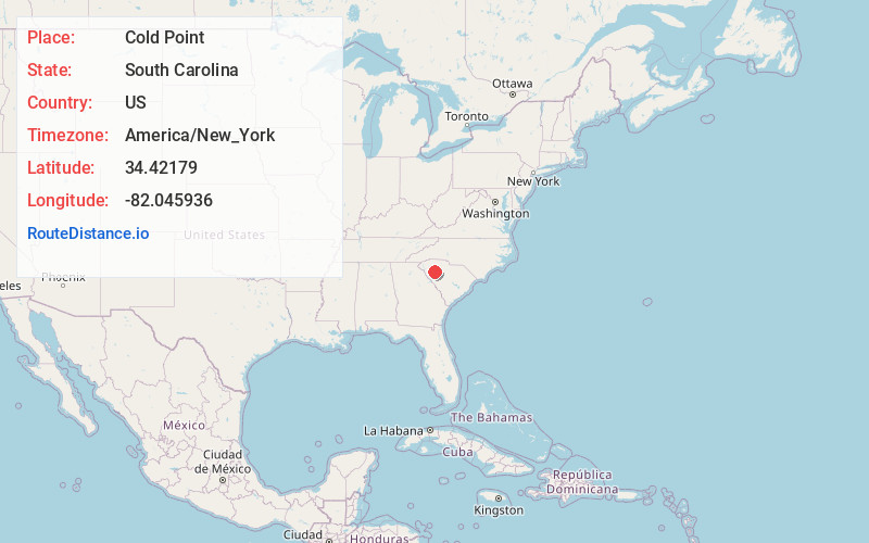
Full AddressCold Point, SC 29360
-
Coordinates34.4217898, -82.0459362
-
LocationSouth Carolina , US
-
TimezoneAmerica/New_York
-
Current Local Time9:33:18 AM America/New_YorkSunday, June 22, 2025
-
Page Views0
Nearby Places
Found 10 places within 50 miles

Waterloo
4.9 mi
7.9 km
Waterloo, SC 29384
Get directions

Ekom
5.4 mi
8.7 km
Ekom, SC 29360
Get directions

Laurens
5.6 mi
9.0 km
Laurens, SC 29360
Get directions

Mountville
6.0 mi
9.7 km
Mountville, SC 29370
Get directions

Watts Mills
7.5 mi
12.1 km
Watts Mills, SC 29360
Get directions
Mt Gallagher
8.3 mi
13.4 km
Mt Gallagher, SC 29692
Get directions

Cross Hill
8.8 mi
14.2 km
Cross Hill, SC 29332
Get directions
Poplar Springs
9.6 mi
15.4 km
Poplar Springs, SC 29692
Get directions
White Plains Crossroad
9.8 mi
15.8 km
White Plains Crossroad, SC 29370
Get directions

Clinton
10.1 mi
16.3 km
Clinton, SC 29325
Get directions
Location Links
Local Weather
Weather Information
Coming soon!
Location Map
Static map view of Cold Point, South Carolina
Browse Places by Distance
Places within specific distances from Cold Point
Short Distances
Long Distances
Click any distance to see all places within that range from Cold Point. Distances shown in miles (1 mile ≈ 1.61 kilometers).