Distance to Cold Springs, Nevada

Calculating Your Route
Just a moment while we process your request...
Location Information
-
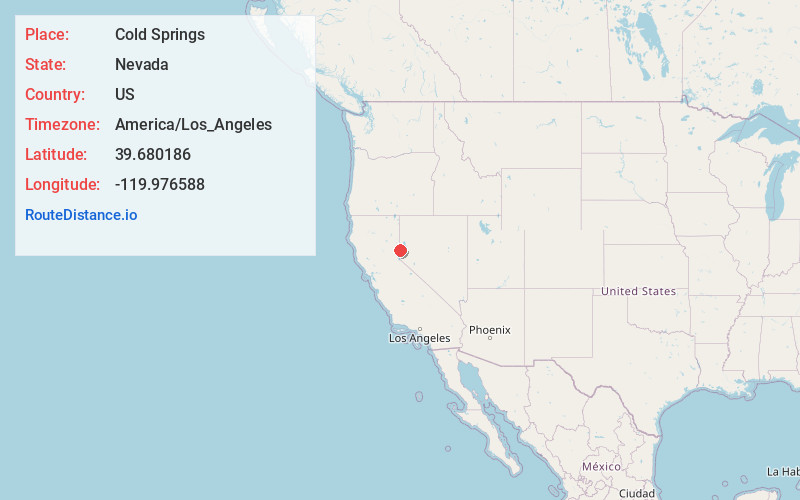
Full AddressCold Springs, NV 89508
-
Coordinates39.680186, -119.9765878
-
LocationCold Springs , Nevada , US
-
TimezoneAmerica/Los_Angeles
-
Current Local Time11:38:42 PM America/Los_AngelesFriday, June 20, 2025
-
Page Views0
About Cold Springs
Cold Springs is a census-designated place in Washoe County, Nevada, United States. It is known as Eitse'ihpaa or Eitse'ippaa in Shoshoni. It is located just off U.S. Route 395 in the northwestern part of the Reno–Sparks Metropolitan Statistical Area, adjacent to the California state line.


Nearby Places
Found 8 places within 50 miles

Sun Valley
12.1 mi
19.5 km
Sun Valley, NV
Get directions

Reno
13.5 mi
21.7 km
Reno, NV
Get directions

Spanish Springs
14.5 mi
23.3 km
Spanish Springs, NV
Get directions

Sparks
15.6 mi
25.1 km
Sparks, NV
Get directions

Truckee
26.7 mi
43.0 km
Truckee, CA 96161
Get directions

Dayton
36.8 mi
59.2 km
Dayton, NV
Get directions

Carson City
37.4 mi
60.2 km
Carson City, NV
Get directions

Fernley
38.9 mi
62.6 km
Fernley, NV
Get directions
Location Links
Local Weather
Weather Information
Coming soon!
Location Map
Static map view of Cold Springs, Nevada
Browse Places by Distance
Places within specific distances from Cold Springs
Short Distances
Long Distances
Click any distance to see all places within that range from Cold Springs. Distances shown in miles (1 mile ≈ 1.61 kilometers).