Distance to Cold Stream, West Virginia

Calculating Your Route
Just a moment while we process your request...
Location Information
-
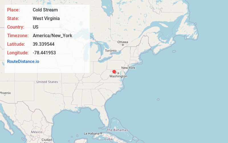
Full AddressCold Stream, WV 26711
-
Coordinates39.3395439, -78.4419528
-
LocationWest Virginia , US
-
TimezoneAmerica/New_York
-
Current Local Time6:49:58 AM America/New_YorkSaturday, June 21, 2025
-
Page Views0
About Cold Stream
Cold Stream is an unincorporated community in Hampshire County in the U.S. state of West Virginia. Cold Stream is located north of Capon Bridge on Cold Stream Road. Referred to as Edwards Run in its past, the community of Cold Stream is in proximity to where Edwards Run empties into the Cacapon River.
Nearby Places
Found 10 places within 50 miles

Capon Bridge
2.9 mi
4.7 km
Capon Bridge, WV 26711
Get directions

Good
4.5 mi
7.2 km
Good, WV 26711
Get directions
Slanesville
4.9 mi
7.9 km
Slanesville, WV 26704
Get directions
Bubbling Springs
5.7 mi
9.2 km
Bubbling Springs, WV 26711
Get directions
Whitacre
6.2 mi
10.0 km
Whitacre, VA 22625
Get directions

Lake Holiday
6.8 mi
10.9 km
Lake Holiday, VA
Get directions
Hainesville
6.8 mi
10.9 km
Hainesville, WV 26704
Get directions

High View
7.7 mi
12.4 km
High View, WV
Get directions

Gore
7.9 mi
12.7 km
Gore, VA 22637
Get directions
Creekvale
8.6 mi
13.8 km
Creekvale, WV 25437
Get directions
Location Links
Local Weather
Weather Information
Coming soon!
Location Map
Static map view of Cold Stream, West Virginia
Browse Places by Distance
Places within specific distances from Cold Stream
Short Distances
Long Distances
Click any distance to see all places within that range from Cold Stream. Distances shown in miles (1 mile ≈ 1.61 kilometers).