Distance to Creekvale, West Virginia

Calculating Your Route
Just a moment while we process your request...
Location Information
-
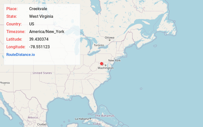
Full AddressCreekvale, WV 25437
-
Coordinates39.4303736, -78.5511232
-
LocationWest Virginia , US
-
TimezoneAmerica/New_York
-
Current Local Time12:22:54 AM America/New_YorkThursday, June 19, 2025
-
Page Views0
About Creekvale
Creekvale is an unincorporated community in Hampshire County in the U.S. state of West Virginia. Creekvale is located southeast of Levels along the Little Cacapon River on Little Cacapon-Levels Road. Creekvale had a post office in operation from 1918 to 1935.
Nearby Places
Found 10 places within 50 miles

Slanesville
4.2 mi
6.8 km
Slanesville, WV 26704
Get directions
Springfield
7.8 mi
12.6 km
Springfield, WV 26763
Get directions

Green Spring
7.8 mi
12.6 km
Green Spring, WV 26722
Get directions

Oldtown
8.3 mi
13.4 km
Oldtown, MD 21555
Get directions

Paw Paw
8.6 mi
13.8 km
Paw Paw, WV 25434
Get directions

Capon Bridge
11.0 mi
17.7 km
Capon Bridge, WV 26711
Get directions

Romney
12.6 mi
20.3 km
Romney, WV 26757
Get directions

Spring Gap
12.6 mi
20.3 km
Spring Gap, MD
Get directions

Fort Ashby
12.6 mi
20.3 km
Fort Ashby, WV 26719
Get directions

Lake Holiday
14.9 mi
24.0 km
Lake Holiday, VA
Get directions
Location Links
Local Weather
Weather Information
Coming soon!
Location Map
Static map view of Creekvale, West Virginia
Browse Places by Distance
Places within specific distances from Creekvale
Short Distances
Long Distances
Click any distance to see all places within that range from Creekvale. Distances shown in miles (1 mile ≈ 1.61 kilometers).