Distance to Springfield, West Virginia

Calculating Your Route
Just a moment while we process your request...
Location Information
-
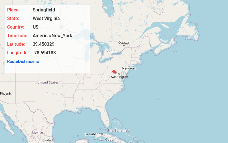
Full AddressSpringfield, WV 26763
-
Coordinates39.450329, -78.6941834
-
LocationSpringfield , West Virginia , US
-
TimezoneAmerica/New_York
-
Current Local Time9:16:48 PM America/New_YorkWednesday, June 18, 2025
-
Page Views0
About Springfield
Springfield is a census-designated place in northwestern Hampshire County, West Virginia, United States. As of the 2010 census, Springfield had a population of 477. Springfield is located north of Romney along West Virginia Route 28 at its junction with Green Spring Road and Springfield Pike.
Nearby Places
Found 10 places within 50 miles

Fort Ashby
5.4 mi
8.7 km
Fort Ashby, WV 26719
Get directions

Romney
8.2 mi
13.2 km
Romney, WV 26757
Get directions

Rawlings
11.6 mi
18.7 km
Rawlings, MD 21557
Get directions
Wiley Ford
12.1 mi
19.5 km
Wiley Ford, WV
Get directions
Cresaptown
12.3 mi
19.8 km
Cresaptown, MD 21502
Get directions
Potomac Park
12.6 mi
20.3 km
Potomac Park, MD 21502
Get directions
Danville
13.1 mi
21.1 km
Danville, MD 21557
Get directions
Carpendale
13.1 mi
21.1 km
Carpendale, WV 26753
Get directions
Bowling Green
13.3 mi
21.4 km
Bowling Green, MD 21502
Get directions

Paw Paw
13.8 mi
22.2 km
Paw Paw, WV 25434
Get directions
Location Links
Local Weather
Weather Information
Coming soon!
Location Map
Static map view of Springfield, West Virginia
Browse Places by Distance
Places within specific distances from Springfield
Short Distances
Long Distances
Click any distance to see all places within that range from Springfield. Distances shown in miles (1 mile ≈ 1.61 kilometers).