Distance to Colebrook, Pennsylvania

Calculating Your Route
Just a moment while we process your request...
Location Information
-
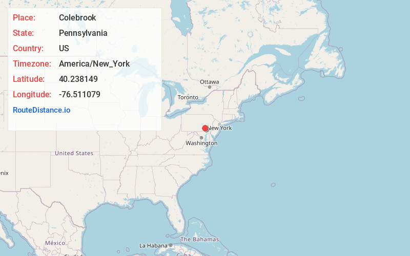
Full AddressColebrook, PA 17042
-
Coordinates40.2381485, -76.511079
-
LocationColebrook , Pennsylvania , US
-
TimezoneAmerica/New_York
-
Current Local Time3:32:35 PM America/New_YorkTuesday, June 24, 2025
-
Page Views0
About Colebrook
Colebrook is an unincorporated community in South Londonderry Township in Lebanon County, Pennsylvania, United States. Colebrook is located at the intersection of Pennsylvania Route 117 and Mount Wilson Road just to the south of Pennsylvania Route 241.
Nearby Places
Found 10 places within 50 miles

South Londonderry Township
1.4 mi
2.3 km
South Londonderry Township, PA
Get directions

Timber Hills
1.8 mi
2.9 km
Timber Hills, PA
Get directions

Mt Gretna
2.3 mi
3.7 km
Mt Gretna, PA
Get directions

West Cornwall Township
3.7 mi
6.0 km
West Cornwall Township, PA
Get directions
South Annville Township
4.1 mi
6.6 km
South Annville Township, PA
Get directions

Rapho Township
4.1 mi
6.6 km
Rapho Township, PA
Get directions
Campbelltown
4.8 mi
7.7 km
Campbelltown, PA 17078
Get directions
Quentin
4.8 mi
7.7 km
Quentin, PA 17042
Get directions
North Cornwall Township
6.1 mi
9.8 km
North Cornwall Township, PA 17042
Get directions

Cornwall
6.1 mi
9.8 km
Cornwall, PA
Get directions
Location Links
Local Weather
Weather Information
Coming soon!
Location Map
Static map view of Colebrook, Pennsylvania
Browse Places by Distance
Places within specific distances from Colebrook
Short Distances
Long Distances
Click any distance to see all places within that range from Colebrook. Distances shown in miles (1 mile ≈ 1.61 kilometers).