Distance to Colebrook, Connecticut

Calculating Your Route
Just a moment while we process your request...
Location Information
-
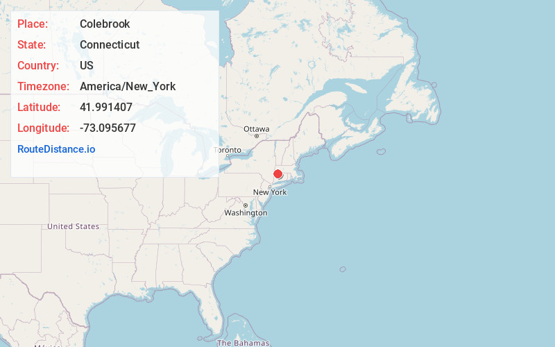
Full AddressColebrook, CT
-
Coordinates41.9914071, -73.0956765
-
LocationColebrook , Connecticut , US
-
TimezoneAmerica/New_York
-
Current Local Time8:04:58 PM America/New_YorkMonday, June 23, 2025
-
Website
-
Page Views0
About Colebrook
Colebrook is a town in Litchfield County, Connecticut, United States. The population was 1,361 at the 2020 census. The town is part of the Northwest Hills Planning Region. Colebrook was named after Colebrooke in the English county of Devon; the reason is now unknown.


Nearby Places
Found 10 places within 50 miles

Robertsville
2.8 mi
4.5 km
Robertsville, Colebrook, CT 06065
Get directions
Mcclaveville
3.3 mi
5.3 km
Mcclaveville, Colebrook, CT 06021
Get directions
Grantville
4.2 mi
6.8 km
Grantville, Norfolk, CT 06058
Get directions
Camp Spruce Hill
5.1 mi
8.2 km
Camp Spruce Hill, Tolland, MA 01034
Get directions

Norfolk
5.3 mi
8.5 km
Norfolk, CT
Get directions
Skyland
6.1 mi
9.8 km
Skyland, Tolland, MA 01034
Get directions
Roosterville
6.2 mi
10.0 km
Roosterville, Sandisfield, MA 01255
Get directions
South Norfolk
7.4 mi
11.9 km
South Norfolk, Norfolk, CT 06058
Get directions

Tolland
7.6 mi
12.2 km
Tolland, MA
Get directions
West New Boston
7.6 mi
12.2 km
West New Boston, Sandisfield, MA 01255
Get directions
Location Links
Local Weather
Weather Information
Coming soon!
Location Map
Static map view of Colebrook, Connecticut
Browse Places by Distance
Places within specific distances from Colebrook
Short Distances
Long Distances
Click any distance to see all places within that range from Colebrook. Distances shown in miles (1 mile ≈ 1.61 kilometers).