Distance to Coleman Falls, Virginia

Calculating Your Route
Just a moment while we process your request...
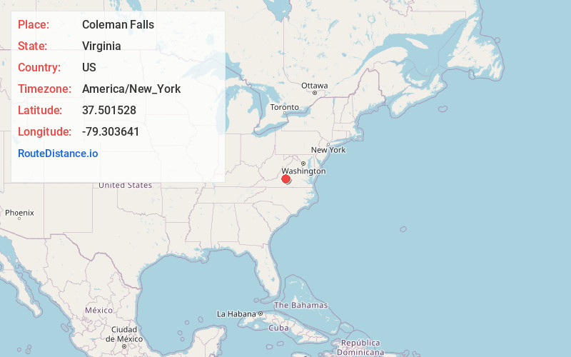
Location Information
-
Full AddressColeman Falls, VA 24536
-
Coordinates37.5015282, -79.303641
-
LocationColeman Falls , Virginia , US
-
TimezoneAmerica/New_York
-
Current Local Time2:15:41 AM America/New_YorkSunday, June 1, 2025
-
Page Views0
About Coleman Falls
Coleman Falls is an unincorporated community in northern Bedford County, Virginia, United States. The community is located along the James River and U.S. Route 501, between Big Island and Boonsboro. It is part of the Lynchburg Metropolitan Statistical Area.

Nearby Places
Found 10 places within 50 miles

Pearch
1.4 mi
2.3 km
Pearch, VA 24503
Get directions
Waugh
2.5 mi
4.0 km
Waugh, VA 24526
Get directions
Naola
3.7 mi
6.0 km
Naola, VA 24574
Get directions
Big Island
3.8 mi
6.1 km
Big Island, VA
Get directions
Agricola
3.9 mi
6.3 km
Agricola, VA 24574
Get directions
Abert
4.3 mi
6.9 km
Abert, VA 24503
Get directions
Boonsboro
4.3 mi
6.9 km
Boonsboro, Lynchburg, VA 24503
Get directions
Salt Creek
4.5 mi
7.2 km
Salt Creek, VA 24572
Get directions
Coffee
4.9 mi
7.9 km
Coffee, VA 24503
Get directions
Pedlar Mills
4.9 mi
7.9 km
Pedlar Mills, VA 24574
Get directions
Location Links
Local Weather
Weather Information
Coming soon!
Location Map
Static map view of Coleman Falls, Virginia
Browse Places by Distance
Places within specific distances from Coleman Falls
Short Distances
Long Distances
Click any distance to see all places within that range from Coleman Falls. Distances shown in miles (1 mile ≈ 1.61 kilometers).