Distance to Coleman, Georgia

Calculating Your Route
Just a moment while we process your request...
Location Information
-
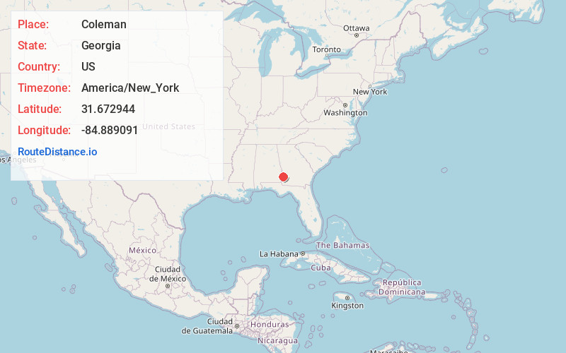
Full AddressColeman, GA 39836
-
Coordinates31.6729444, -84.8890905
-
LocationColeman , Georgia , US
-
TimezoneAmerica/New_York
-
Current Local Time9:59:58 AM America/New_YorkThursday, May 29, 2025
-
Page Views0
About Coleman
Coleman is a former incorporated city in Randolph County, Georgia, United States. It is listed as a census-designated place. The population was 149 at the 2000 census. The city was abolished by House Bill 1102 effective January 1, 2007, and no longer exists as a municipality.

Nearby Places
Found 10 places within 50 miles

Cuthbert
9.0 mi
14.5 km
Cuthbert, GA 39840
Get directions

Fort Gaines
10.3 mi
16.6 km
Fort Gaines, GA 39851
Get directions

Bluffton
10.4 mi
16.7 km
Bluffton, GA 39824
Get directions

Edison
11.9 mi
19.2 km
Edison, GA 39846
Get directions

Shellman
17.1 mi
27.5 km
Shellman, GA 39886
Get directions

Arlington
18.8 mi
30.3 km
Arlington, GA 39813
Get directions

Morgan
19.4 mi
31.2 km
Morgan, GA 39866
Get directions

Georgetown
19.7 mi
31.7 km
Georgetown, GA 39854
Get directions

Blakely
20.6 mi
33.2 km
Blakely, GA 39823
Get directions

Eufaula
21.3 mi
34.3 km
Eufaula, AL
Get directions
Location Links
Local Weather
Weather Information
Coming soon!
Location Map
Static map view of Coleman, Georgia
Browse Places by Distance
Places within specific distances from Coleman
Short Distances
Long Distances
Click any distance to see all places within that range from Coleman. Distances shown in miles (1 mile ≈ 1.61 kilometers).