Distance to Coles Point, Virginia

Calculating Your Route
Just a moment while we process your request...
Location Information
-
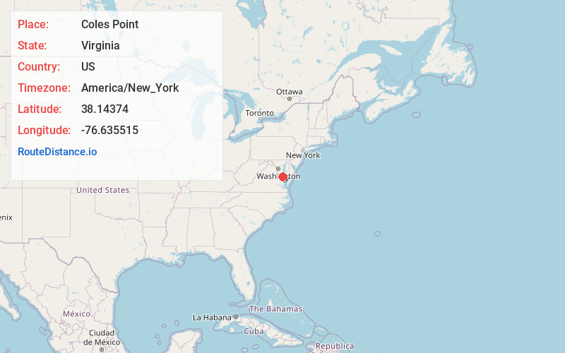
Full AddressColes Point, VA 22469
-
Coordinates38.1437402, -76.6355145
-
LocationColes Point , Virginia , US
-
TimezoneAmerica/New_York
-
Current Local Time9:16:15 AM America/New_YorkFriday, May 30, 2025
-
Page Views0
About Coles Point
Coles Point is an unincorporated community in Westmoreland County, in the Commonwealth of Virginia, United States.
Nearby Places
Found 10 places within 50 miles

Ragged Point Beach
1.1 mi
1.8 km
Ragged Point Beach, VA 22469
Get directions

Hague
5.0 mi
8.0 km
Hague, VA 22469
Get directions

Tall Timbers
5.2 mi
8.4 km
Tall Timbers, MD
Get directions
Lane Beach
5.3 mi
8.5 km
Lane Beach, Maryland 20650
Get directions
McKay Beach
5.5 mi
8.9 km
McKay Beach, MD 20650
Get directions
Mt Holly
5.8 mi
9.3 km
Mt Holly, VA 22520
Get directions

Piney Point
6.7 mi
10.8 km
Piney Point, MD
Get directions
Currioman Landing
6.9 mi
11.1 km
Currioman Landing, VA 22520
Get directions
Breton Beach
7.0 mi
11.3 km
Breton Beach, MD 20650
Get directions
Andover Estates
7.3 mi
11.7 km
Andover Estates, MD 20692
Get directions
Location Links
Local Weather
Weather Information
Coming soon!
Location Map
Static map view of Coles Point, Virginia
Browse Places by Distance
Places within specific distances from Coles Point
Short Distances
Long Distances
Click any distance to see all places within that range from Coles Point. Distances shown in miles (1 mile ≈ 1.61 kilometers).