Distance to Currioman Landing, Virginia

Calculating Your Route
Just a moment while we process your request...
Location Information
-
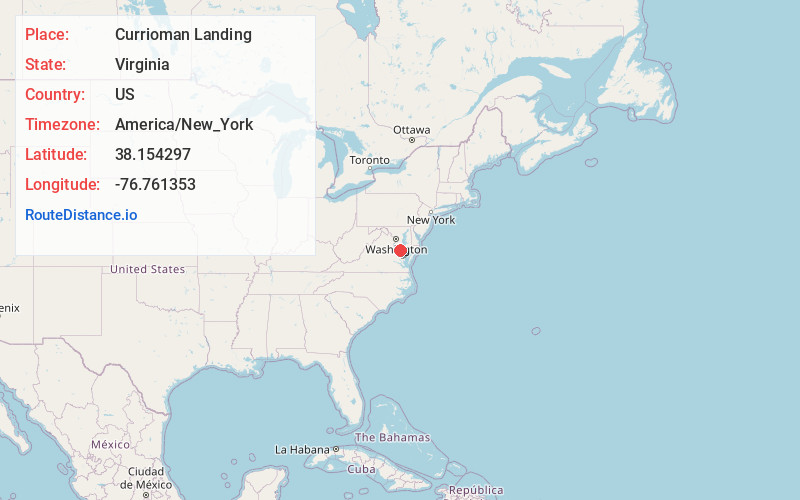
Full AddressCurrioman Landing, VA 22520
-
Coordinates38.1542973, -76.7613528
-
LocationVirginia , US
-
TimezoneAmerica/New_York
-
Current Local Time5:26:04 AM America/New_YorkWednesday, June 18, 2025
-
Page Views0
Nearby Places
Found 10 places within 50 miles

Westmoreland County
3.0 mi
4.8 km
Westmoreland County, VA
Get directions

Coltons Point
4.9 mi
7.9 km
Coltons Point, MD 20626
Get directions

Mt Holly
5.0 mi
8.0 km
Mt Holly, VA 22520
Get directions
Montross
5.4 mi
8.7 km
Montross, VA 22520
Get directions
Palmers
5.5 mi
8.9 km
Palmers, MD 20626
Get directions
Templeman
5.8 mi
9.3 km
Templeman, VA 22520
Get directions
River Springs
6.4 mi
10.3 km
River Springs, MD 20609
Get directions
Breton Beach
7.0 mi
11.3 km
Breton Beach, MD 20650
Get directions
Ragged Point Beach
7.9 mi
12.7 km
Ragged Point Beach, VA 22469
Get directions

Hague
8.2 mi
13.2 km
Hague, VA 22469
Get directions
Location Links
Local Weather
Weather Information
Coming soon!
Location Map
Static map view of Currioman Landing, Virginia
Browse Places by Distance
Places within specific distances from Currioman Landing
Short Distances
Long Distances
Click any distance to see all places within that range from Currioman Landing. Distances shown in miles (1 mile ≈ 1.61 kilometers).