Distance to Montross, Virginia

Calculating Your Route
Just a moment while we process your request...
Location Information
-
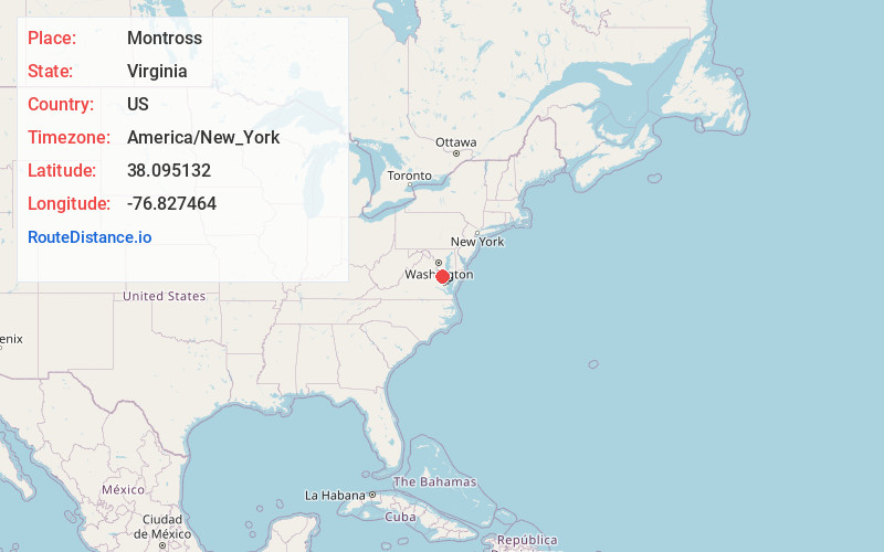
Full AddressMontross, VA 22520
-
Coordinates38.0951317, -76.8274644
-
LocationMontross , Virginia , US
-
TimezoneAmerica/New_York
-
Current Local Time7:56:10 PM America/New_YorkWednesday, June 25, 2025
-
Page Views0
About Montross
Montross is a town in Westmoreland County, Virginia, United States. The population was 553 at the 2020 census. It is the county seat of Westmoreland County. Located in the historic Northern Neck of Virginia, Montross is near the George Washington Birthplace National Monument and the Stratford Hall Plantation.


Nearby Places
Found 10 places within 50 miles

Warsaw
10.2 mi
16.4 km
Warsaw, VA 22572
Get directions

Oak Grove
11.0 mi
17.7 km
Oak Grove, VA 22443
Get directions

Cobb Island
11.3 mi
18.2 km
Cobb Island, MD
Get directions

Tappahannock
11.9 mi
19.2 km
Tappahannock, VA 22560
Get directions

Colonial Beach
13.3 mi
21.4 km
Colonial Beach, VA 22443
Get directions

Tall Timbers
16.2 mi
26.1 km
Tall Timbers, MD
Get directions

Leonardtown
17.1 mi
27.5 km
Leonardtown, MD 20650
Get directions

Piney Point
17.5 mi
28.2 km
Piney Point, MD
Get directions

Callaway
19.4 mi
31.2 km
Callaway, MD
Get directions

Dahlgren
20.3 mi
32.7 km
Dahlgren, VA 22485
Get directions
Location Links
Local Weather
Weather Information
Coming soon!
Location Map
Static map view of Montross, Virginia
Browse Places by Distance
Places within specific distances from Montross
Short Distances
Long Distances
Click any distance to see all places within that range from Montross. Distances shown in miles (1 mile ≈ 1.61 kilometers).