Distance to Tappahannock, Virginia

Calculating Your Route
Just a moment while we process your request...
Location Information
-
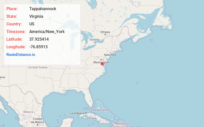
Full AddressTappahannock, VA 22560
-
Coordinates37.9254135, -76.8591301
-
LocationTappahannock , Virginia , US
-
TimezoneAmerica/New_York
-
Current Local Time2:05:28 PM America/New_YorkTuesday, July 1, 2025
-
Website
-
Page Views0
About Tappahannock
Tappahannock is the oldest town in Essex County, Virginia, United States. The population was 2,375 at the 2010 census, up from 2,068 at the 2000 census. Located on the Rappahannock River, Tappahannock is the county seat of Essex County.


Nearby Places
Found 10 places within 50 miles

Warsaw
6.0 mi
9.7 km
Warsaw, VA 22572
Get directions

Oak Grove
19.2 mi
30.9 km
Oak Grove, VA 22443
Get directions

Colonial Beach
23.4 mi
37.7 km
Colonial Beach, VA 22443
Get directions

West Point
27.4 mi
44.1 km
West Point, VA 23181
Get directions

Leonardtown
28.0 mi
45.1 km
Leonardtown, MD 20650
Get directions

King George
29.3 mi
47.2 km
King George, VA 22485
Get directions

Dahlgren
29.9 mi
48.1 km
Dahlgren, VA 22485
Get directions
Wildewood
31.4 mi
50.5 km
Wildewood, MD
Get directions

California
32.2 mi
51.8 km
California, MD
Get directions

Solomons
35.0 mi
56.3 km
Solomons, MD
Get directions
Location Links
Local Weather
Weather Information
Coming soon!
Location Map
Static map view of Tappahannock, Virginia
Browse Places by Distance
Places within specific distances from Tappahannock
Short Distances
Long Distances
Click any distance to see all places within that range from Tappahannock. Distances shown in miles (1 mile ≈ 1.61 kilometers).