Distance to Leonardtown, Maryland

Calculating Your Route
Just a moment while we process your request...
Location Information
-
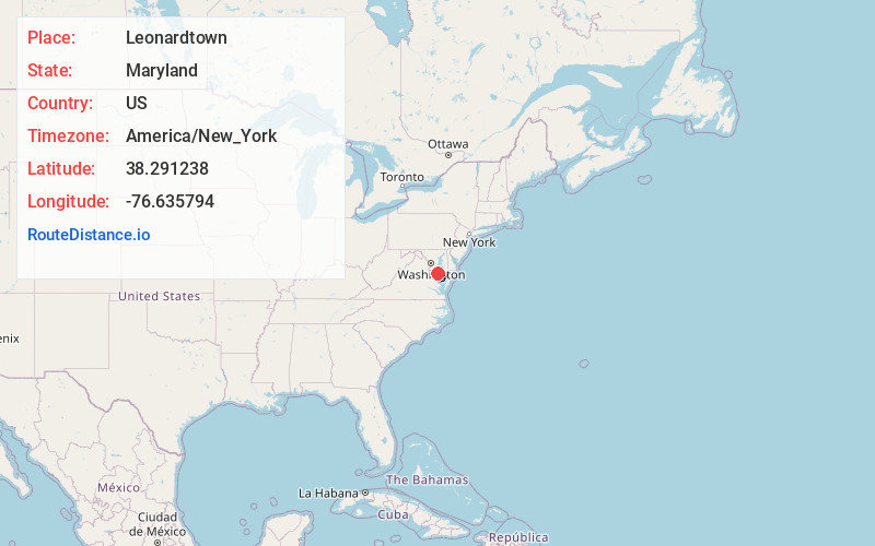
Full AddressLeonardtown, MD 20650
-
Coordinates38.291238, -76.6357942
-
LocationLeonardtown , Maryland , US
-
TimezoneAmerica/New_York
-
Current Local Time11:46:16 PM America/New_YorkFriday, June 20, 2025
-
Website
-
Page Views0
About Leonardtown
Leonardtown is a town in and the county seat of St. Mary's County, Maryland, United States. The population was 4,563 at the 2020 census.


Nearby Places
Found 10 places within 50 miles

Wildewood
5.7 mi
9.2 km
Wildewood, MD
Get directions

California
7.0 mi
11.3 km
California, MD
Get directions

La Plata
24.7 mi
39.8 km
La Plata, MD 20646
Get directions

Waldorf
27.5 mi
44.3 km
Waldorf, MD
Get directions

King George
29.6 mi
47.6 km
King George, VA 22485
Get directions

Bennsville
30.0 mi
48.3 km
Bennsville, MD
Get directions
Brandywine
30.3 mi
48.8 km
Brandywine, MD 20613
Get directions

Bryans Road
33.1 mi
53.3 km
Bryans Road, MD
Get directions

Accokeek
33.6 mi
54.1 km
Accokeek, MD
Get directions

Deale
33.8 mi
54.4 km
Deale, MD
Get directions
Location Links
Local Weather
Weather Information
Coming soon!
Location Map
Static map view of Leonardtown, Maryland
Browse Places by Distance
Places within specific distances from Leonardtown
Short Distances
Long Distances
Click any distance to see all places within that range from Leonardtown. Distances shown in miles (1 mile ≈ 1.61 kilometers).