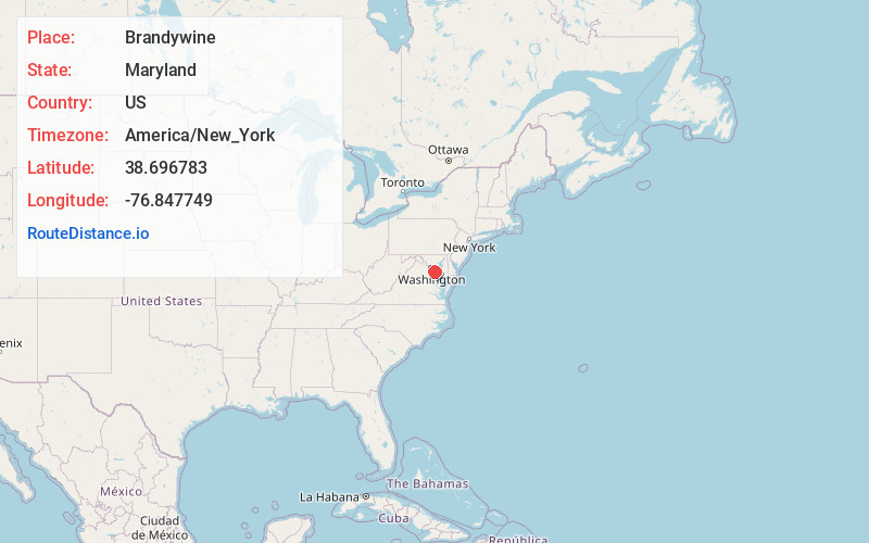
Distance to Brandywine, Maryland

Calculating Your Route
Just a moment while we process your request...
Location Information
-
Full AddressBrandywine, MD 20613
-
Coordinates38.6967833, -76.8477485
-
LocationBrandywine , Maryland , US
-
TimezoneAmerica/New_York
-
Current Local Time8:23:25 AM America/New_YorkWednesday, June 18, 2025
-
Page Views0
About Brandywine
Brandywine is the name of an unincorporated area in Prince George's County, Maryland, United States, that refers both to a census-designated place and a zip code area which is much larger, whose areas overlap.
Nearby Places
Found 10 places within 50 miles

Rosaryville
5.1 mi
8.2 km
Rosaryville, MD
Get directions

Clinton
5.5 mi
8.9 km
Clinton, MD
Get directions

Waldorf
5.9 mi
9.5 km
Waldorf, MD
Get directions

Marlton
6.2 mi
10.0 km
Marlton, MD 20772
Get directions
Friendly
8.0 mi
12.9 km
Friendly, MD 20744
Get directions
Camp Springs
8.1 mi
13.0 km
Camp Springs, MD
Get directions

Fort Washington
9.5 mi
15.3 km
Fort Washington, MD 20744
Get directions

Accokeek
9.9 mi
15.9 km
Accokeek, MD
Get directions
Forestville
10.4 mi
16.7 km
Forestville, MD
Get directions
Westphalia
10.5 mi
16.9 km
Westphalia, MD
Get directions
Location Links
Local Weather
Weather Information
Coming soon!
Location Map
Static map view of Brandywine, Maryland
Browse Places by Distance
Places within specific distances from Brandywine
Short Distances
Long Distances
Click any distance to see all places within that range from Brandywine. Distances shown in miles (1 mile ≈ 1.61 kilometers).