Distance to Clinton, Maryland

Calculating Your Route
Just a moment while we process your request...
Location Information
-
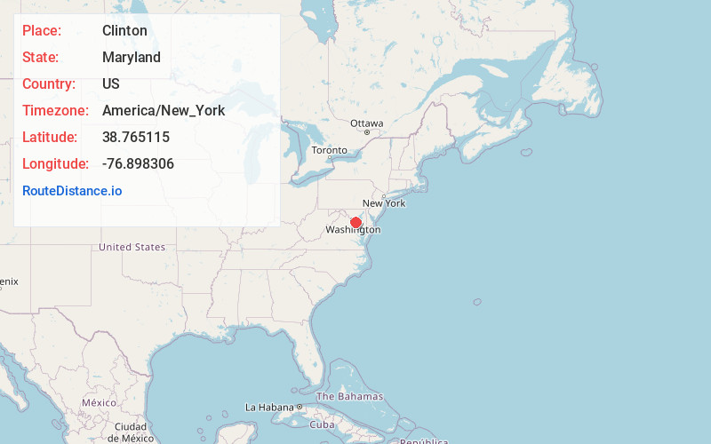
Full AddressClinton, MD
-
Coordinates38.7651145, -76.8983059
-
LocationClinton , Maryland , US
-
TimezoneAmerica/New_York
-
Current Local Time5:53:36 AM America/New_YorkMonday, June 2, 2025
-
Page Views0
About Clinton
Clinton is an unincorporated census-designated place in Prince George's County, Maryland, United States. Clinton was formerly known as Surrattsville until after the time of the Civil War, and Robeystown from 1865 to 1878. The population of Clinton was 38,760 at the 2020 census.


Nearby Places
Found 10 places within 50 miles

Alexandria
8.3 mi
13.4 km
Alexandria, VA
Get directions

Waldorf
9.6 mi
15.4 km
Waldorf, MD
Get directions

Arlington National Cemetery
12.1 mi
19.5 km
Arlington National Cemetery, Arlington, VA
Get directions

Washington
12.3 mi
19.8 km
Washington, DC
Get directions

Annandale
16.7 mi
26.9 km
Annandale, VA
Get directions

Silver Spring
17.0 mi
27.4 km
Silver Spring, MD
Get directions

Bowie
17.9 mi
28.8 km
Bowie, MD
Get directions

Bethesda
18.5 mi
29.8 km
Bethesda, MD
Get directions

McLean
19.0 mi
30.6 km
McLean, VA
Get directions

Burke
20.2 mi
32.5 km
Burke, VA
Get directions
Location Links
Local Weather
Weather Information
Coming soon!
Location Map
Static map view of Clinton, Maryland
Browse Places by Distance
Places within specific distances from Clinton
Short Distances
Long Distances
Click any distance to see all places within that range from Clinton. Distances shown in miles (1 mile ≈ 1.61 kilometers).