Distance to Marlton, Maryland

Calculating Your Route
Just a moment while we process your request...
Location Information
-
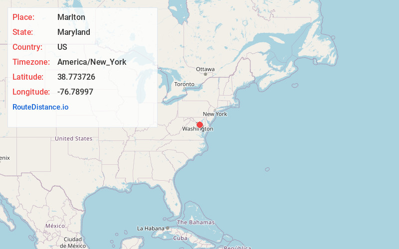
Full AddressMarlton, MD 20772
-
Coordinates38.7737258, -76.7899697
-
LocationMarlton , Maryland , US
-
TimezoneAmerica/New_York
-
Current Local Time4:33:54 AM America/New_YorkFriday, June 13, 2025
-
Page Views0
About Marlton
Marlton is an unincorporated area and census-designated place in Prince George's County, Maryland, United States. The population was 9,802 at the 2020 census.

Nearby Places
Found 10 places within 50 miles

Rosaryville
2.6 mi
4.2 km
Rosaryville, MD
Get directions
Brock Hall
5.0 mi
8.0 km
Brock Hall, MD
Get directions
Westphalia
5.1 mi
8.2 km
Westphalia, MD
Get directions

Clinton
5.9 mi
9.5 km
Clinton, MD
Get directions
Camp Springs
6.6 mi
10.6 km
Camp Springs, MD
Get directions
Forestville
6.7 mi
10.8 km
Forestville, MD
Get directions

Largo
7.5 mi
12.1 km
Largo, MD 20774
Get directions

Kettering
7.8 mi
12.6 km
Kettering, MD 20774
Get directions

Suitland-Silver Hill
8.8 mi
14.2 km
Suitland-Silver Hill, MD
Get directions

Lake Arbor
9.5 mi
15.3 km
Lake Arbor, MD
Get directions
Location Links
Local Weather
Weather Information
Coming soon!
Location Map
Static map view of Marlton, Maryland
Browse Places by Distance
Places within specific distances from Marlton
Short Distances
Long Distances
Click any distance to see all places within that range from Marlton. Distances shown in miles (1 mile ≈ 1.61 kilometers).