Distance to Cobb Island, Maryland

Calculating Your Route
Just a moment while we process your request...
Location Information
-
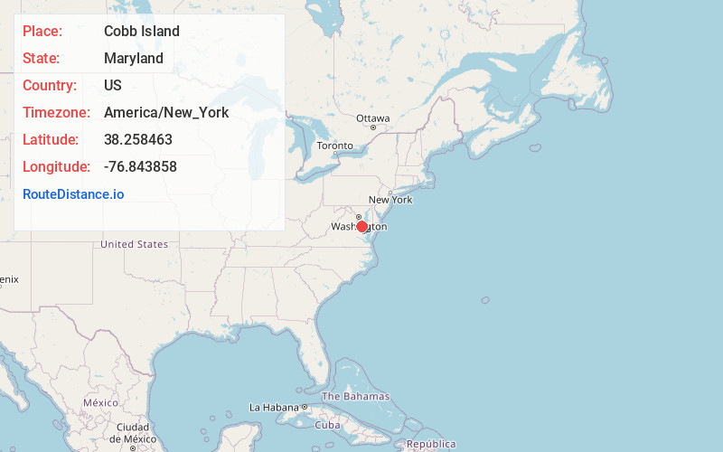
Full AddressCobb Island, MD
-
Coordinates38.2584626, -76.8438581
-
LocationCobb Island , Maryland , US
-
TimezoneAmerica/New_York
-
Current Local Time11:46:39 AM America/New_YorkWednesday, June 25, 2025
-
Page Views0
About Cobb Island
Cobb Island is a small island located at the confluence of the Potomac and Wicomico rivers in southern Charles County, Maryland, United States. It is located approximately 45 miles south of Washington, and is considered to be within the Washington, D.C. MSA.


Nearby Places
Found 10 places within 50 miles

Colonial Beach
6.5 mi
10.5 km
Colonial Beach, VA 22443
Get directions

Oak Grove
9.9 mi
15.9 km
Oak Grove, VA 22443
Get directions

Leonardtown
11.5 mi
18.5 km
Leonardtown, MD 20650
Get directions

Dahlgren
12.3 mi
19.8 km
Dahlgren, VA 22485
Get directions

Mechanicsville
13.8 mi
22.2 km
Mechanicsville, MD 20659
Get directions

Charlotte Hall
15.8 mi
25.4 km
Charlotte Hall, MD
Get directions
Wildewood
17.2 mi
27.7 km
Wildewood, MD
Get directions
Golden Beach
18.2 mi
29.3 km
Golden Beach, MD 20659
Get directions

King George
18.3 mi
29.5 km
King George, VA 22485
Get directions

California
18.5 mi
29.8 km
California, MD
Get directions
Location Links
Local Weather
Weather Information
Coming soon!
Location Map
Static map view of Cobb Island, Maryland
Browse Places by Distance
Places within specific distances from Cobb Island
Short Distances
Long Distances
Click any distance to see all places within that range from Cobb Island. Distances shown in miles (1 mile ≈ 1.61 kilometers).