Distance to Colington Island, North Carolina

Calculating Your Route
Just a moment while we process your request...
Location Information
-
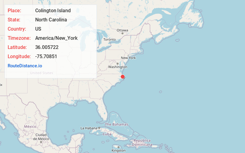
Full AddressColington Island, North Carolina 27948
-
Coordinates36.0057222, -75.7085104
-
LocationNorth Carolina , US
-
TimezoneAmerica/New_York
-
Current Local Time3:18:55 AM America/New_YorkWednesday, June 18, 2025
-
Page Views0
About Colington Island
This inhabited island features a gated community, plus shops, eateries, churches & more.


Nearby Places
Found 10 places within 50 miles

Eagleton
1.0 mi
1.6 km
Eagleton, NC 27948
Get directions

Kill Devil Hills
2.5 mi
4.0 km
Kill Devil Hills, NC 27948
Get directions
Croatan Shores
2.9 mi
4.7 km
Croatan Shores, Kill Devil Hills, NC 27948
Get directions

Kitty Hawk
4.1 mi
6.6 km
Kitty Hawk, NC 27949
Get directions
Fort Raleigh City
4.8 mi
7.7 km
Fort Raleigh City, NC 27954
Get directions

Nags Head
5.8 mi
9.3 km
Nags Head, NC 27959
Get directions
Mother Vineyard
6.1 mi
9.8 km
Mother Vineyard, NC 27954
Get directions
Mashoes
6.3 mi
10.1 km
Mashoes, NC 27953
Get directions

Manteo
7.0 mi
11.3 km
Manteo, NC 27954
Get directions

Point Harbor
7.0 mi
11.3 km
Point Harbor, NC 27964
Get directions
Location Links
Local Weather
Weather Information
Coming soon!
Location Map
Static map view of Colington Island, North Carolina
Browse Places by Distance
Places within specific distances from Colington Island
Short Distances
Long Distances
Click any distance to see all places within that range from Colington Island. Distances shown in miles (1 mile ≈ 1.61 kilometers).