Distance to and from College Hill, Rhode Island
College Hill, Providence, RI
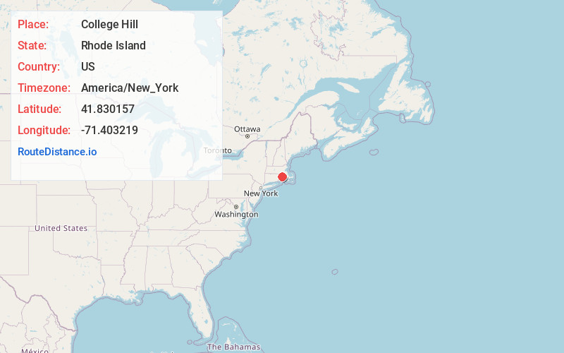
Providence
Rhode Island
US
America/New_York
Location Information
-
Full AddressCollege Hill, Providence, RI
-
Coordinates41.8301567, -71.4032189
-
NeighborhoodCollege Hill
-
LocationProvidence , Rhode Island , US
-
TimezoneAmerica/New_York
-
Current Local Time9:38:34 PM America/New_YorkWednesday, May 7, 2025
-
Page Views0
Directions to Nearest Cities
About College Hill
College Hill is a historic neighborhood of Providence, Rhode Island, and one of six neighborhoods comprising the city's East Side. It is roughly bounded by South and North Main Street to the west, Power Street to the south, Governor Street and Arlington Avenue to the east and Olney Street to the north.


Nearby Places
Found 10 places within 50 miles

Providence
0.7 mi
1.1 km
Providence, RI
Get directions

East Providence
2.1 mi
3.4 km
East Providence, RI
Get directions

Geneva
2.8 mi
4.5 km
Geneva, North Providence, RI 02904
Get directions
Marieville
3.1 mi
5.0 km
Marieville, North Providence, RI 02904
Get directions
Fruit Hill
3.3 mi
5.3 km
Fruit Hill, North Providence, RI 02911
Get directions

Pawtucket
3.5 mi
5.6 km
Pawtucket, RI
Get directions
Lymansville
3.7 mi
6.0 km
Lymansville, North Providence, RI 02911
Get directions

North Providence
3.7 mi
6.0 km
North Providence, RI
Get directions

Seekonk
3.7 mi
6.0 km
Seekonk, MA 02771
Get directions

Cranston
3.9 mi
6.3 km
Cranston, RI
Get directions
Providence
0.7 mi
1.1 km
Providence, RI
East Providence
2.1 mi
3.4 km
East Providence, RI
Geneva
2.8 mi
4.5 km
Geneva, North Providence, RI 02904
Marieville
3.1 mi
5.0 km
Marieville, North Providence, RI 02904
Fruit Hill
3.3 mi
5.3 km
Fruit Hill, North Providence, RI 02911
Pawtucket
3.5 mi
5.6 km
Pawtucket, RI
Lymansville
3.7 mi
6.0 km
Lymansville, North Providence, RI 02911
North Providence
3.7 mi
6.0 km
North Providence, RI
Seekonk
3.7 mi
6.0 km
Seekonk, MA 02771
Cranston
3.9 mi
6.3 km
Cranston, RI
Location Links
Local Weather
Weather Information
Coming soon!
Location Map
Static map view of College Hill, Rhode Island
Browse Places by Distance
Places within specific distances from College Hill
Short Distances
Long Distances
Click any distance to see all places within that range from College Hill. Distances shown in miles (1 mile ≈ 1.61 kilometers).